
Cemetery #4319
Sale Brooklands Cemetery
Also known as Sale and Brooklands Cemetery · Sale Cemetery · Brooklands Cemetery
53
documented records
≈ 1,500–2,900
approx. capacity (graves)
0.073 km²
cemetery area
Nov 5, 2026
last modified
About this cemetery
Sale and Brooklands Cemetery is a High Victorian cemetery laid out in 1862 for a Burial Board. It was extended around 1895 southward across Marsland Road, with the two parts linked by an underpass. It has an informal layout of winding paths, a Grade II listed chapel, and a great density of notable 19th and early 20th-century monuments. The site is registered by Historic England.
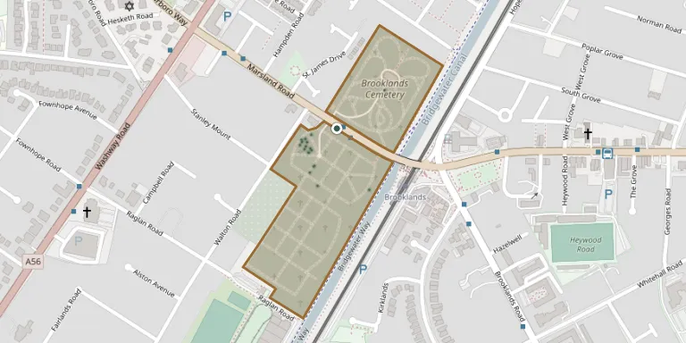
Cemetery location
GPS coordinates: 53.418003° N, 2.327933° W Directions in Google Maps (opens in a new tab)
Memorials
Showing the first 50 of 53, A–Z by surname. Search all records
 Alfred Alexander 1882 – 1916
- Annie Alexander 1881 – 1968
- Ellen Alexander 1857 – 1937
- Joseph Alexander 1851 – 1908
- Olive Alexander 1911 – 1998
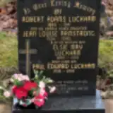 Jean Armstrong 1924 – 1990
 Charles Barton 1901 – 1931
- Florence Barton ? – 1889
- Olive Barton ? – 1934
 John Cavanah ? – 1901
 Catherine Dunlop ? – 1908
 Elizabeth Foulkes 1853 – 1912
- Gertrude Foulkes ? – 1926
- Lewis Foulkes ? – 1928
 Fanny Haigh 1873 – 1966
- Allan Hammond ? – 1907
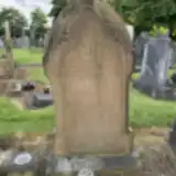 Amos Hammond ? – 1954
- Fanny Hammond ? – 1925
- Frances Hammond 1897 – 1941
- Nancy Hammond ? – 1915
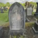 Elizabeth Hilton 1846 – 1922
- Florence Hilton ? – 1917
- John Hilton ? – 1910
 John Jolley 1886 – 1934
- Maud Jolley ? – 1938
 Edith Lowe 1903 – 1915
- Edwin Lowe ? – 1954
- Eliza Lowe 1857 – 1924
- John Lowe ? – 1928
- Minnie Lowe ? – 1960
- Catherine Marshall 1828 – 1908
- John Marshall ? – 1929
- Margaret Marshall ? – 1918
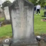 George Mercer ? – 1949
- Susan Mercer 1882 – 1914
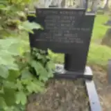 Emily Moult ? – 1954
- Joseph Moult 1873 – 1938
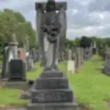 Elizabeth Nuttall 1862 – 1917
- Ernest Nuttall ? – 1928
- Frederic Nuttall 1862 – 1936
- Elizabeth Pankhurst 1836 – 1920
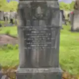 Doriss Ratcliff ? – 1928
- John Ratcliff 1893 – 1934
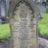 Eleanor Smith ? – 1954
- Lilian Smith ? – 1956
- Minnie Smith ? – 1918
- Rose Smith 1883 – 1950
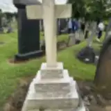 Annie Taylor ? – 1950
- Harold Taylor 1898 – 1916
- William Taylor ? – 1953
Looking for someone who isn't listed? Request a photo.
Nearby cemeteries
The closest other burial grounds listed on EveryStone.
- St. Martin's Churchyard 2.0 km away · Old Trafford · 15 records
- Stretford Cemetery 3.1 km away · Stretford · 268 records
- St Matthew Churchyard 3.1 km away · Stretford
- Urmston Cemetery 3.1 km away · Urmston · 5 records
- Christ Churchyard 3.2 km away · Old Trafford
- St George's Churchyard 3.5 km away · Altrincham
- Urmston Jewish Cemetery 3.6 km away · Urmston
- Chorlton Graveyard 3.7 km away · Manchester
- Bowden Shul Cemetery, Manchester 4.4 km away · Manchester
- Hale Cemetery 4.4 km away · Hale
Contribute with the app
Our website works smoothly on both desktop and mobile devices. Prefer a native app? Check it out below.
- Capture clear headstone photos
- Save GPS grave locations automatically
- Transcribe inscriptions with our AI
- Suggest corrections to existing records
Common questions
How big is Sale Brooklands Cemetery?
Sale Brooklands Cemetery covers about 73,000 m² (18 acres), about the size of 10 soccer fields. It is the 21st largest of the 226 cemeteries we list in Greater Manchester.
What is the oldest grave in this cemetery?
The oldest grave among the records we hold for Sale Brooklands Cemetery is that of Florence Anne Barton, who died on July 6, 1889.