
58
documented records
≈ 210–410
approx. capacity (graves)
0.010 km²
cemetery area
Nov 5, 2026
last modified
About this cemetery
The cemetery is owned by the Roman Catholic parish of St Andrew the Apostle in Konojad and is run by the parish priest.
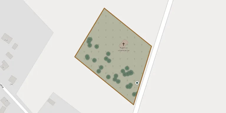
Cemetery location
GPS: GPS coordinates: 52.164501° N, 16.537100° E Directions in Google Maps (opens in a new tab)
Memorials
Showing the first 50 of 58, A–Z by surname. Search all records
 Joanna Andrzejewska 1919 – 2005
- Franciszek Andrzejewski 1909 – 1973
- Jerzy Andrzejewski 1948 – 2009
 Franciszek Bręk 1920 – 1993
- Katarzyna Bręk 1917 – 1996
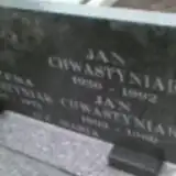 Bożena Chwastyniak ? – 1973
- Jan Chwastyniak 1930 – 1992
- Jan Chwastyniak 1903 – 1969
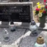 Maria Drzymała 1923 – 2006
 Stanisława Firlej 1923 – 2005
- Sylwester Firlej 1922 – 2011
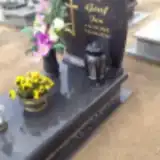 Jan Graf 1928 – 2014
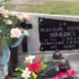 Władysława Humerska 1904 – 1974
- Stefan Humerski 1905 – 1959
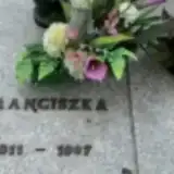 Antoni Jąder 1882 – 1950
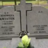 Antoni Jąder 1907 – 1986
- Franciszka Jąder 1911 – 1997
- Isława Jąder ? – 1977
- Maria Jąder 1906 – 1990
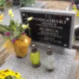 Józef Jurga 1908 – 1989
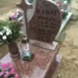 Józefa Kabat 1885 – 1951
- Stanisława Kabat 1923 – 2016
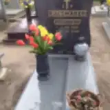 Bronisław Kaczmarek 1939 – 2010
- Stanisław Kaczmarek 1918 – 1990
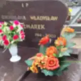 Władysław Kaczmarek 1914 – 2003
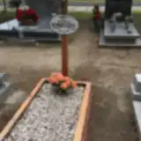 Wojciech Konieczny 1903 – 1981
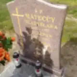 Antonina Kroma 1926 – 1990
- Stefan Kroma 1931 – 2000
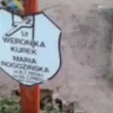 Weronika Kurek 1900 – 1900
- Genowefa Kwiatek 1947 – 2015
 Michał Łapacz 1894 – 1963
 Stanisława Leonarska 1885 – 1961
- Szczepan Mateccy 1893 – 1957
- Władysława Mateccy 1892 – 1957
- Czesław Młynarek 1933 – 2005
 Jan Młynarek 1922 – 2006
- Jan Młynarek 1927 – 2009
- Jan Nowak 1956 – 2002
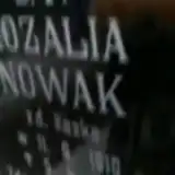 Rozalia Nowak 1910 – 1984
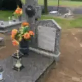 Gertruda Okupniczak 1909 – 1980
- Jan Okupniczak 1909 – 1951
- Henryk Podgórski 1946 – 2008
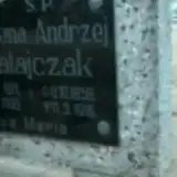 Andrzej Ratajczak 1858 – 1916
- Helena Ratajczak 1911 – 1996
- Maria Rogozińska 1904 – 1982
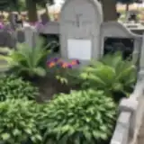 Stanisław Skrzypczak 1899 – 1972
- Wawrzyn Skrzypczak 1854 – 1935
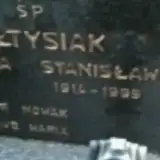 Stanisław Sołtysiak 1914 – 1999
- Stanisława Sołtysiak 1913 – 2001
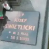 Józef Świetlicki 1946 – 2005
Looking for someone who isn't listed? Request a photo.
Nearby cemeteries
The closest other burial grounds listed on EveryStone.
- Łęki Wielkie Cemetery 4.1 km away · Łęki Wielkie · 51 records
- Kamieniec Poznański Parish Cemetery 5.3 km away · Kamieniec Poznańskie · 59 records
- Granowo Cemetery 6.5 km away · Granowo · 361 records
- Parzęczewo Parish Cemetery 7.4 km away · Parzęczewo · 57 records
- Bonikowo Parish Cemetery 7.9 km away · Bonikowo · 60 records
- Kotusz Cemetery 8.1 km away · Kotusz · 6 records
- Modrze Parish Cemetery 8.7 km away · Modrze · 75 records
- Modrze Parish Cemetery I 8.9 km away · Modrze · 28 records
- Ptaszkowo St. Peter and St. Paul Parish Cemetery 9.6 km away · Grodzisk Wielkopolski · 59 records
- Kościan Municipal Cemetery 10 km away · Kościan · 412 records
Contribute with the app
Our website works smoothly on both desktop and mobile devices. Prefer a native app? Check it out below.
- Capture clear headstone photos
- Save GPS grave locations automatically
- Transcribe inscriptions with our AI
- Suggest corrections to existing records
Common questions
How big is Konojad Parish Cemetery?
Konojad Parish Cemetery covers about 10,000 m² (2.5 acres), about the size of a soccer field. It is the 354th largest of the 1,233 cemeteries we list in Greater Poland Voivodeship.
What is the oldest grave in this cemetery?
The oldest grave among the records we hold for Konojad Parish Cemetery is that of Weronika Kurek, who died in 1900 at the age of 0.