
Cemetery #33180
Droylsden Cemetery
50
documented records
≈ 1,100–2,200
approx. capacity (graves)
0.054 km²
cemetery area
Nov 5, 2026
last modified
About this cemetery
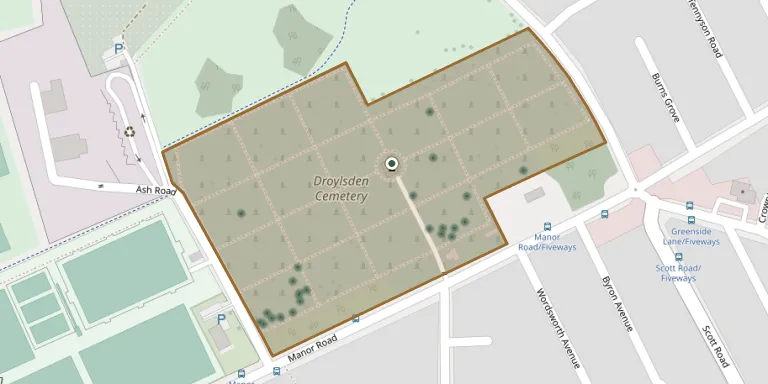
Droylsden Cemetery opened in 1894 on Manor Road in Droylsden. It is managed by Tameside Metropolitan Borough Council and has an operational burial chapel.
Cemetery location
GPS coordinates: 53.484489° N, 2.153910° W Directions in Google Maps (opens in a new tab)
Memorials
50 memorials, A–Z by surname.
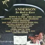 John Anderson 1926 – 2004
- Winifred Anderson 1925 – 2010
 John Barrow 1856 – 1935
- Sarah Barrow 1862 – 1948
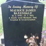 Maurice Baxendale 1938 – 2011
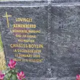 Charles Boylin 1938 – 2010
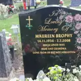 Maureen Brophy 1934 – 2008
 James Campbell ? – 1906
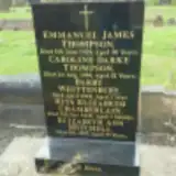 Rita Chamberlain ? – 1948
- Ann Critchley ? – 1906
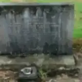 James Devine ? – 1964
- Louisa Devine 1879 – 1955
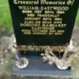 Dorothy Eastwood 1923 – 2014
- William Eastwood 1924 – 1984
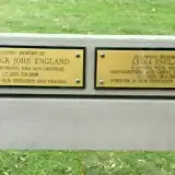 Frederick England 1932 – 1998
- Lydia England 1932 – 2009
- Edward Haydock ? – 1906
- Sarah Hennessey ? – 1907
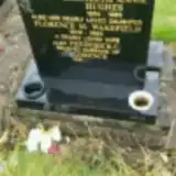 Elizabeth Hughes 1894 – 1983
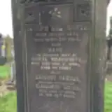 Ernest Ingram ? – 1934
 Francis Irving 1844 – 1929
- Margaret Lonagan ? – 1907
- David Loughlin 1858 – 1907
- Joseph McCoy ? – 1907
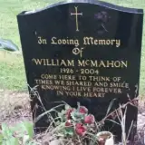 William McMahon 1926 – 2004
- Elizabeth Mitchell ? – 1955
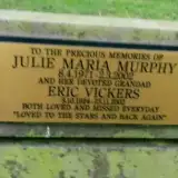 Julie Murphy 1971 – 2002
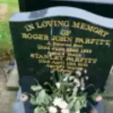 Roger Parfitt ? – 1953
- Stanley Parfitt 1923 – 2001
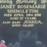 Janet Shingleton 1971 – 1998
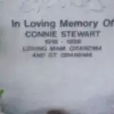 Connie Stewart 1916 – 1996
- Caroline Thompson ? – 1940
- Emmanuel Thompson ? – 1929
 Edward Turner 1882 – 1927
- Elizabeth Turner 1845 – 1912
- William Turner 1843 – 1903
- Eric Vickers 1924 – 2002
- Joan Vickers 1923 – 2009
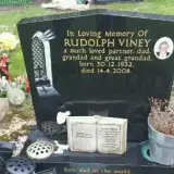 Rudolph Viney 1932 – 2008
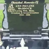 Ann Waddock 1944 – 2010
- Joseph Wadsworth 1831 – 1903
- Mary Wadsworth 1833 – 1900
- Hannah Wainwright ? – 1926
- Florence Wakefield 1925 – 1993
 John Whelan 1919 – 2007
 Gladys Whewell 1917 – 1980
- Harry Whewell 1915 – 1993
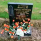 Audrey Whittaker ? – 2002
- Samuel Whittaker 1925 – 1989
- Barry Whittenbury 1943 – 1944
Looking for someone who isn't listed? Request a photo.
Nearby cemeteries
The closest other burial grounds listed on EveryStone.
- Fairfield Moravian Cemetery 1.1 km away · Droylsden
- St Cross Churchyard 1.9 km away · Clayton
- Failsworth Cemetery 2.2 km away · Failsworth
- Failsworth Jewish Cemetery 2.3 km away · Failsworth
- Saint James Churchyard 2.6 km away · Manchester · 12 records
- Philips Park Cemetery 2.8 km away · Manchester · 84 records
- Gorton Cemetery 3.3 km away · Gorton · 58 records
- Audenshaw Cemetery 3.6 km away · Audenshaw · 11 records
- Denton Cemetery 3.8 km away · Denton
- Hollinwood Cemetery 4.0 km away · Oldham
Contribute with the app
Our website works smoothly on both desktop and mobile devices. Prefer a native app? Check it out below.
- Capture clear headstone photos
- Save GPS grave locations automatically
- Transcribe inscriptions with our AI
- Suggest corrections to existing records
Common questions
How big is Droylsden Cemetery?
Droylsden Cemetery covers about 54,000 m² (13 acres), about the size of 8 soccer fields. It is the 28th largest of the 226 cemeteries we list in Greater Manchester.
What is the oldest grave in this cemetery?
The oldest grave among the records we hold for Droylsden Cemetery is that of Mary Wadsworth, who died on November 2, 1900 at the age of 67.