
Cemetery #3350
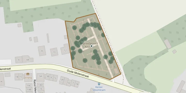
Kester Cemetery
Local name: Begraafplaats Kester
Also known as Sint Martinuskerk, Kester · Sint-Martinuskerk
54
documented records
≈ 110–220
approx. capacity (graves)
5,490 m²
cemetery area
Nov 5, 2026
last modified
About this cemetery
Kester Cemetery is a municipal burial ground in the village of Kester, in the former municipality of Gooik, Flemish Brabant, now part of Pajottegem. The municipality manages 15 cemeteries across its villages.
Cemetery location
GPS coordinates: 50.764633° N, 4.122161° E Directions in Google Maps (opens in a new tab)
Memorials
Showing the first 50 of 54, A–Z by surname. Search all records
 Marcel Albert 1921 – 2012
 Louise Allebosch 1914 – 1989
 Julia Ameys 1925 – 2012
 Adolphine Bellemans 1901 – 1991
 Nestor Bellemans 1905 – 1973
 Jeanne Coorens 1941 – 2016
 Albertha Danau 1907 – 1971
 Julia Danau 1902 – 1981
 Augusta De Doncker 1925 – 2011
- Céline De Doncker 1905 – 1975
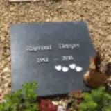 Raymond Delepes 1951 – 2016
- Maurits Demel 1911 – 1997
 Gabriëlle Depester 1918 – 2006
- Willy Desmet 1943 – 1974
 Maria Devits 1903 – 1984
 Jozef De Vits 1911 – 1998
 Bertha Devroede 1917 – 2006
 Julia Devroede 1901 – 1975
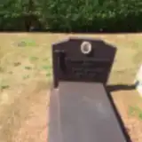 Edmond De Weert 1912 – 1975
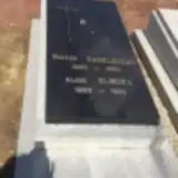 Alice Elinckx 1893 – 1966
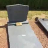 Jeanne Emelinckx 1911 – 1989
- Victor Engelbeens 1888 – 1969
- Jan-Baptist Goossens 1915 – 2001
- August Hugo 1905 – 1980
- Isidoor Hugo 1890 – 1981
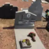 Jeanine Juwet 1936 – 1972
- Maurice Lichtert 1919 – 2001
 Therese Lichtert 1927 – 2017
- Frans Luckx 1908 – 1998
 Nestor Merckx 1898 – 1992
 Andre Mot 1913 – 2001
 Joanna Muyldermans 1922 – 1982
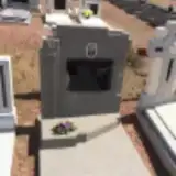 Sylvain Ots 1927 – 1966
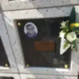 Jenneke Pasteleurs 1925 – 2012
- Arthur Paternoster 1898 – 1981
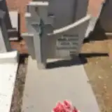 Amandina Poelaert 1896 – 1966
 Martine Raadschelders 1948 – 2011
 Julien Rogiers 1929 – 2010
 Firmin Tiels 1920 – 2002
- Marcel Timmermans 1926 – 1998
- Victor Timmermans 1888 – 1979
 Lucienne Valckenier 1937 – 2014
 Echt Vanbellinghen 1938 – 1986
- Maria Vangijzeghem 1921 – 2005
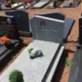 Alena Van Hassel 1909 – 2002
- August Van Huychem 1927 – 1992
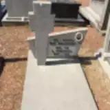 Jan-Baptist Van Malderen 1909 – 1982
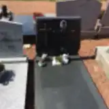 Marceline Van Maldren 1935 – 1996
- Clementine Van Rossom 1902 – 1984
- Germaine Van Rossom 1900 – 1982
Looking for someone who isn't listed? Request a photo.
Nearby cemeteries
The closest other burial grounds listed on EveryStone.
- Leerbeek Cemetery 1.7 km away · Leerbeek
- Herfelingen Cemetery 2.4 km away · Herne · 64 records
- Pepingen Cemetery 2.8 km away · Pepingen
- Onze Lieve Vrouwkerk, Bellingen 3.1 km away · Pepingen · 27 records
- Sint-Bernardus Churchyard, Heikruis 3.4 km away · Pepingen · 15 records
- Bogaarden Cemetery 3.4 km away · Pepingen · 22 records
- Heikruis Cemetery 3.5 km away · Heikruis
- Gooik Cemetery 3.6 km away · Gooik · 6 records
- Sint-Amandus Churchyard, Elingen 3.8 km away · Pepingen · 9 records
- Oetingen Cemetery 4.1 km away · Oetingen
Contribute with the app
Our website works smoothly on both desktop and mobile devices. Prefer a native app? Check it out below.
- Capture clear headstone photos
- Save GPS grave locations automatically
- Transcribe inscriptions with our AI
- Suggest corrections to existing records
Common questions
How big is Kester Cemetery?
Kester Cemetery covers about 5,490 m² (1.4 acres), about the size of a soccer field. It is the 125th largest of the 352 cemeteries we list in Flemish Brabant.
What is the oldest grave in this cemetery?
The oldest grave among the records we hold for Kester Cemetery is that of Sylvain Ots, who died in 1966 at the age of 39.