
Cemetery #3384
Nampcel German Military Cemetery
Local name: Cimetière militaire allemand de Nampcel
Also known as Cimetière Allemand 14-18 Nampcel
0
documented records
≈ 510–1,000
approx. capacity (graves)
0.025 km²
cemetery area
Oct 18, 2026
last modified
About this cemetery
The German military cemetery at Nampcel was built in 1919 by the French state and was at first a mixed French and German cemetery. In 1922 it became exclusively German, the French graves were moved elsewhere, and graves from other sites were brought together here. It dates to the First World War.
Cemetery location
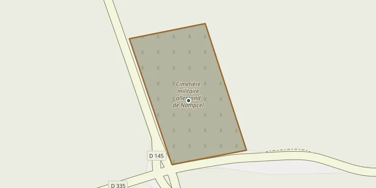
GPS coordinates: 49.480991° N, 3.083112° E Directions in Google Maps (opens in a new tab)
Memorials
No records yet
Photograph a headstone and add it to the archive.
Looking for someone who isn't listed? Request a photo.
Nearby cemeteries
The closest other burial grounds listed on EveryStone.
- Moulin-sous-Touvent German Military Cemetery 1.0 km away · Moulin-sous-Touvent
- Zouave Military Cemetery 2.6 km away · Quennevières
- Moulin-sous-Touvent Cemetery 2.7 km away · Moulin-sous-Touvent
- Audignicourt Cemetery 3.0 km away · Audignicourt
- Saint-Lucien Churchyard, Caisnes 4.6 km away · Caisnes
- Tracy-le-Mont National Cemetery 5.0 km away · Tracy-le-Mont
- Tracy le Mont Cemetery 5.3 km away · Tracy-le-Mont
- Vassens New Cemetery 5.3 km away · Vassens
- Cuts National Cemetery 5.4 km away · Cuts
- Cuts Communal Cemetery 5.4 km away · Cuts
Contribute with the app
Our website works smoothly on both desktop and mobile devices. Prefer a native app? Check it out below.
- Capture clear headstone photos
- Save GPS grave locations automatically
- Transcribe inscriptions with our AI
- Suggest corrections to existing records
Common questions
How big is Nampcel German Military Cemetery?
Nampcel German Military Cemetery covers about 25,000 m² (6.3 acres), about the size of 4 soccer fields. It is the 150th largest of the 4,957 cemeteries we list in Hauts-de-France.