
Cemetery #33997
Rochdale Cemetery
Also known as Rochdale Cemetery and Crematorium · Old Muslim Cemetery, Rochdale
94
documented records
≈ 3,300–6,500
approx. capacity (graves)
0.163 km²
cemetery area
Nov 5, 2026
last modified
About this cemetery
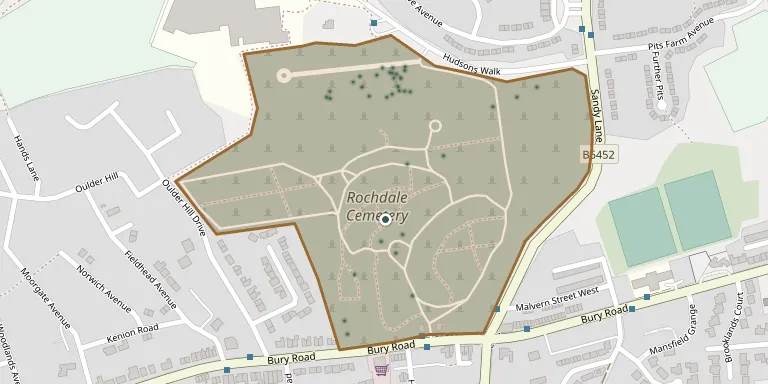
Rochdale Cemetery is a public cemetery on Bury Road, designed by Abraham Stansfield and opened in 1855. It was extended in the late 19th and 20th centuries. The cemetery is owned and maintained by Rochdale Borough Council, and the administrative centre for the borough's cemetery and cremation service is based on the site.
Cemetery location
GPS coordinates: 53.614731° N, 2.184280° W Directions in Google Maps (opens in a new tab)
Memorials
Showing the first 50 of 94, A–Z by surname. Search all records
 Bertha Bentley 1864 – 1946
- Samuel Bentley ? – 1938
 Elizabeth Boal ? – 1951
- Hugh Boal ? – 1904
- Margaret Boal 1840 – 1892
- Margaret Boal 1870 – 1944
 Alan Bowe 1954 – 2020
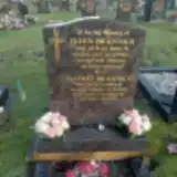 Ellen Brannick ? – 2002
- Jeffrey Brannick 1926 – 2013
 Hilda Brock 1912 – 1990
- Anne Brook ? – 1986
- Edward Brook ? – 1992
 Bridget Browne 1907 – 1982
- Elizabeth Butterworth ? – 1907
 Frank Butterworth 1913 – 1995
- John Butterworth ? – 1886
- Margaret Butterworth 1912 – 2001
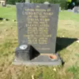 Ellen Cahill ? – 1950
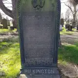 Herbert Chadwick ? – 1927
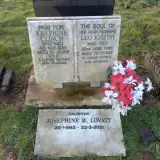 Josephine Clinch ? – 1985
- Leo Clinch 1916 – 1995
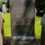 Bentley Collinge ? – 1916
- Emma Collinge ? – 1927
- Harold Collinge ? – 1915
- John Collinge ? – 1933
- Mary Collinge ? – 1898
- Robert Collinge ? – 1917
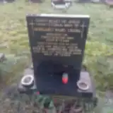 Margaret Crook ? – 1984
- Marie Crook 1928 – 2006
- Jim Doyle ? – 1982
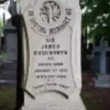 Sir Duckworth 1840 – 1915
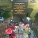 Antoni Dziobek 1922 – 2003
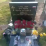 Stan Dziobek 1953 – 2024
- Tekla Dziobek 1928 – 2009
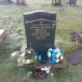 Helena Dzundza 1923 – 1995
- Steve Dzundza 1955 – 2019
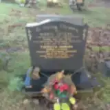 Thereza Gergel 1924 – 2011
- Wasyl Gergel 1922 – 1980
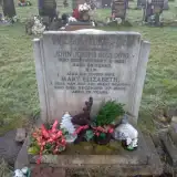 John Goulding 1930 – 1983
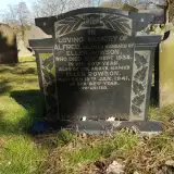 Herbert Greenwood 1922 – 1947
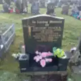 Domenica Hnatiuk 1924 – 2008
- Hryhory Hnatiuk 1911 – 1991
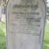 Anna Holgate ? – 1876
- John Holgate 1814 – 1886
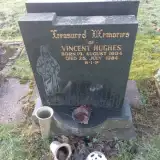 Vincent Hughes 1904 – 1984
- Robert Hurst 1886 – 1917
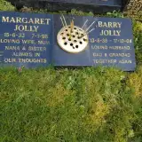 Barry Jolly 1936 – 2004
- Margaret Jolly 1933 – 1998
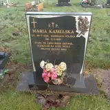 Maria Kamelska 1926 – 1997
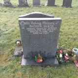 Patrick Klieve 1929 – 1981
Looking for someone who isn't listed? Request a photo.
Nearby cemeteries
The closest other burial grounds listed on EveryStone.
- Denehurst Cemetery 490 m away · Rochdale
- Heywood Cemetery 2.1 km away · Heywood
- St. Paul's Churchyard 2.3 km away · Norden
- St. James Ashworth 2.9 km away · Rochdale · 11 records
- St Martin Churchyard 3.0 km away · Castleton
- Heywood Cemetery 3.7 km away · Heywood
- Littleborough Cemetery 4.1 km away · Littleborough
- Middleton Cemetery 4.4 km away · Middleton
- Whitworth Cemetery 4.6 km away · Whitworth
- Milnrow Cemetery 4.9 km away · Milnrow
Contribute with the app
Our website works smoothly on both desktop and mobile devices. Prefer a native app? Check it out below.
- Capture clear headstone photos
- Save GPS grave locations automatically
- Transcribe inscriptions with our AI
- Suggest corrections to existing records
Common questions
How big is Rochdale Cemetery?
Rochdale Cemetery covers about 16.3 hectares (163,000 m²), about the same size as Brompton Cemetery in London. It is the 7th largest of the 226 cemeteries we list in Greater Manchester.
What is the oldest grave in this cemetery?
The oldest grave among the records we hold for Rochdale Cemetery is that of Frederick Whitaker, who died on March 14, 1864.