
Cemetery #34143
Greystoke (Saint Andrew) Churchyard
Also known as St Andrews Church, Greystoke
52
documented records
≈ 170–340
approx. capacity (graves)
8,500 m²
cemetery area
Nov 5, 2026
last modified
About this cemetery
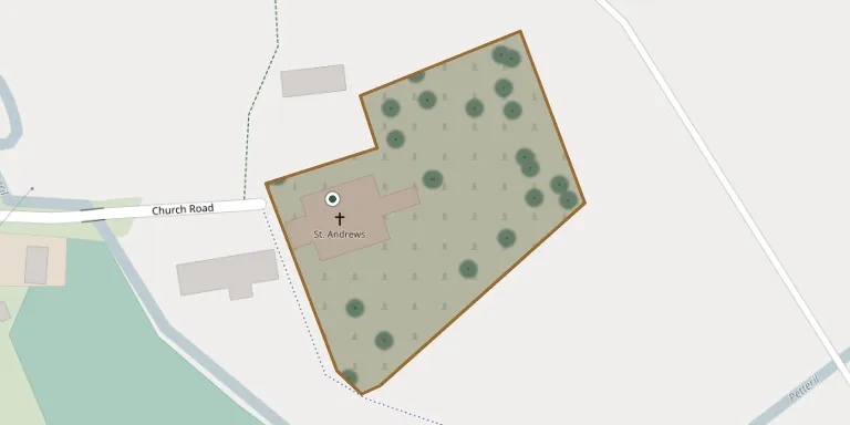
This is the churchyard of St Andrew's Church in Greystoke, Cumbria. It contains one Commonwealth war grave from the First World War and one from the Second World War. The Grade II* listed church has been described as a fortified ecclesiastical site, although this is considered doubtful.
Cemetery location
GPS: GPS coordinates: 54.669102° N, 2.864600° W Directions in Google Maps (opens in a new tab)
Memorials
Showing the first 50 of 52, A–Z by last name. Search all records
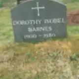 Dorothy Barnes 1900 – 1980
 John Bowerbank ? – 1868
 Isaac Brownrigg 1844 – 1922
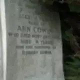 Ann Cowin 1865 – 1939
- Thomas Cowin ? – 1892
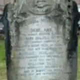 Jane Dalzell ? – 1922
 John Elliott 1803 – 1889
- Richard Elliott 1870 – 1937
- Robert Elliott 1870 – 1957
 Eleanor Gaskell 1846 – 1931
 Annie Harker 1901 – 1962
- Percy Harker 1898 – 1976
 Edward Hawell ? – 1889
 Jane Hawell 1815 – 1892
- Joseph Hawell 1855 – 1891
- Mary Hetherington 1842 – 1878
 Esther Hodgson 1724 – 1799
- John Hodgson ? – 1799
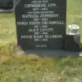 Matilda Jeppeson 1901 – 1964
- Catherine Levitt 1877 – 1953
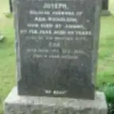 Ada Nicholson ? – 1976
- Joseph Nicholson 1871 – 1940
 Dorothy Robinson 1793 – 1850
 Frank Robinson ? – 1944
- Grace Robinson 1897 – 1970
- John Robinson ? – 1871
- Thomas Robinson ? – 1988
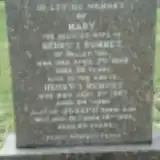 Henry Rumney ? – 1967
- Joseph Rumney ? – 1981
- Mary Rumney 1889 – 1948
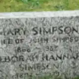 Deborah Simpson 1892 – 1979
- Mary Simpson 1868 – 1933
- Margaret Slee 1879 – 1887
- Mary Slee ? – 1944
- William Slee ? – 1935
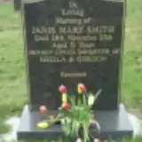 Janis Smith 1965 – 2016
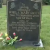 Lewis Smith ? – 2000
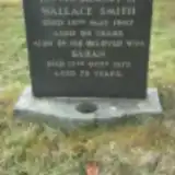 Sarah Smith 1899 – 1972
- Sheila Smith 1930 – 1998
- Wallace Smith ? – 1962
 Richard Smyth 1880 – 1938
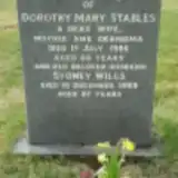 Dorothy Stables 1922 – 1986
 James Stables ? – 1975
- John Stables ? – 1955
- Margaret Stables 1892 – 1961
 Sarah Stalker 1872 – 1948
 Frederick Stent 1854 – 1943
- Martha Stent 1856 – 1939
- Hannah Stephens 1823 – 1870
 Frances Stephenson 1914 – 1998
Looking for someone who isn't listed? Request a photo.
Nearby cemeteries
The closest other burial grounds listed on EveryStone.
- St. John Churchyard 3.7 km away · Newton Reigny
- St Andrew's Churchyard 4.5 km away · Dacre
- St. Michael's Churchyard 4.6 km away · Skelton
- St. James Churchyard 5.9 km away · Hutton
- St. Michael's Churchyard 6.3 km away · Barton
- Christ Church 7.1 km away · Penrith
- Penrith Cemetery 7.3 km away · Penrith · 8 records
- St. Andrew's Churchyard 7.3 km away · Penrith · 4 records
- All Saints Churchyard 7.9 km away · Watermillock
- Mungrisdale (Saint Kentigern) Churchyard 8.0 km away · Mungrisdale · 10 records
Contribute with the app
Our website works smoothly on both desktop and mobile devices. Prefer a native app? Check it out below.
- Capture clear headstone photos
- Save GPS grave locations automatically
- Transcribe inscriptions with our AI
- Suggest corrections to existing records
Common questions
How big is Greystoke (Saint Andrew) Churchyard?
Greystoke (Saint Andrew) Churchyard covers about 8,500 m² (2.1 acres), about the size of a soccer field. It is the 60th largest of the 297 cemeteries we list in Cumbria.
What is the oldest grave in this cemetery?
The oldest grave among the records we hold for Greystoke (Saint Andrew) Churchyard is that of Esther Hodgson, who died on March 3, 1799 at the age of 75.