
Cemetery #3591
Coatbridge (Old Monkland) Cemetery
Also known as Old Monkland Cemetery · Monkland Cemetery
104
documented records
≈ 2,100–4,200
approx. capacity (graves)
0.105 km²
cemetery area
Nov 5, 2026
last modified
About this cemetery
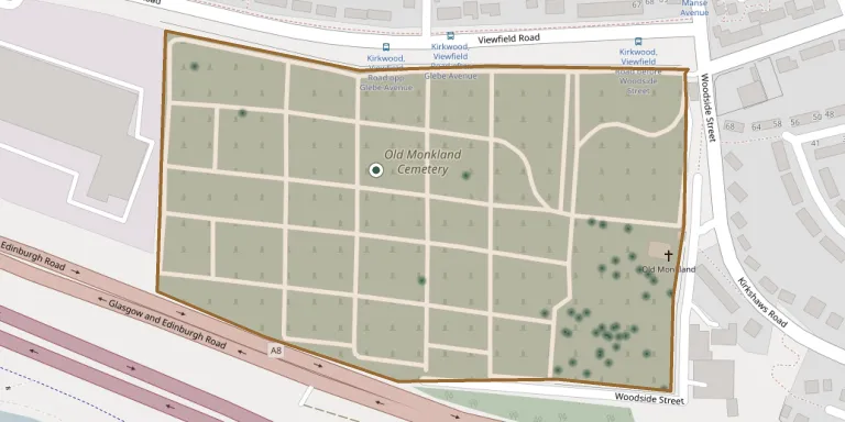
Old Monkland Cemetery on Woodside Street, Coatbridge, was opened for interments around 1875 and covers 10.95 hectares. It is a Category B listed site and is managed by North Lanarkshire Council.
Cemetery location
GPS coordinates: 55.846378° N, 4.053410° W Directions in Google Maps (opens in a new tab)
Memorials
Showing the first 50 of 104, A–Z by surname. Search all records
 Jeanie Allan ? – 1936
 Jane Arbuthnot 1850 – 1929
 Barbara Baird ? – 1931
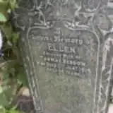 Ellen Beddow 1860 – 1914
 Agnes Beveridge ? – 1895
- Edward Beveridge ? – 1941
- Jessie Beveridge 1868 – 1925
 James Blackwood 1910 – 1913
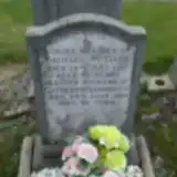 Catherine Doherty ? – 1964
 Alexander Falconer 1894 – 1914
- Charlotte Falconer 1860 – 1939
- Eliza Falconer 1893 – 1973
 George Fraser 1864 – 1924
 Elizabeth Gamson 1887 – 1915
 Joan Hamilton ? – 1935
 Jeanie Hill ? – 1910
- Charlotte Ireland 1889 – 1928
- John Ireland 1891 – 1916
- John Ireland 1846 – 1917
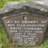 James Lindsay 1920 – 1942
 George Martin ? – 2001
- Margaret Martin 1930 – 2007
 Andrew McCosh 1841 – 1916
- Edward McCosh 1890 – 1918
- James McCosh 1872 – 1903
- Mary McCosh 1849 – 1936
- Mary McCosh 1882 – 1883
- Sara McCosh 1874 – 1877
- Michael McDade 1892 – 1957
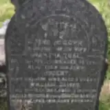 Martha McGown 1860 – 1895
- Robert McGown 1893 – 1893
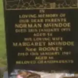 Margaret McIndoe 1921 – 1987
- Norman McIndoe 1921 – 1975
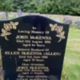 Ellen McKenna ? – 1962
- John McKenna ? – 1958
- John McKenna ? – 1947
- Liam McKenna 1986 – 1986
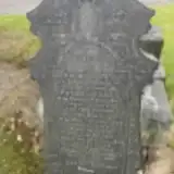 Helen McLean 1831 – 1915
- Peter McLean 1887 – 1966
- Johanna McLeod ? – 1890
 Mary Meldrum 1858 – 1927
- Norman Meldrum 1851 – 1930
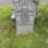 Mary Millar 1844 – 1921
- Robert Millar 1892 – 1957
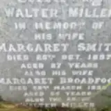 Margaret Miller 1873 – 1938
- Margaret Miller 1860 – 1897
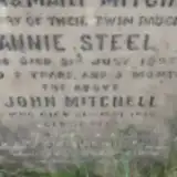 Annie Mitchell 1895 – 1897
 Catherine Morrison 1898 – 1961
- Elizabeth Morrison 1902 – 1903
- John Morrison 1880 – 1963
Looking for someone who isn't listed? Request a photo.
Nearby cemeteries
The closest other burial grounds listed on EveryStone.
- Bothwell Park Cemetery 2.9 km away · Bellshill · 152 records
- Coltswood Cemetery 3.3 km away · Coatbridge
- Baillieston Crosshill Parish Churchyard 3.4 km away · Glasgow
- St Andrews United Free Church, Bellshill 3.5 km away · Bellshill
- Bothwell Parish Church Graveyard 4.9 km away · Bothwell
- Wellwynd Churchyard 5.0 km away · Airdrie
- Bothwellhaugh Cemetery 5.0 km away · Bellshill
- Glenduffhill Cemetery 5.4 km away · Glasgow
- Saint Patrick's Cemetery 5.8 km away · Motherwell
- New Monkland Cemetery 5.8 km away · Glenmavis
Contribute with the app
Our website works smoothly on both desktop and mobile devices. Prefer a native app? Check it out below.
- Capture clear headstone photos
- Save GPS grave locations automatically
- Transcribe inscriptions with our AI
- Suggest corrections to existing records
Common questions
How big is Coatbridge (Old Monkland) Cemetery?
Coatbridge (Old Monkland) Cemetery covers about 10.5 hectares (105,000 m²), about the size of 15 soccer fields. It is the 3rd largest of the 26 cemeteries we list in North Lanarkshire.
What is the oldest grave in this cemetery?
The oldest grave among the records we hold for Coatbridge (Old Monkland) Cemetery is that of William Rodger, who died in 1857 at the age of 3.