
37
documented records
≈ 470–940
approx. capacity (graves)
0.024 km²
cemetery area
Nov 4, 2026
last modified
About this cemetery
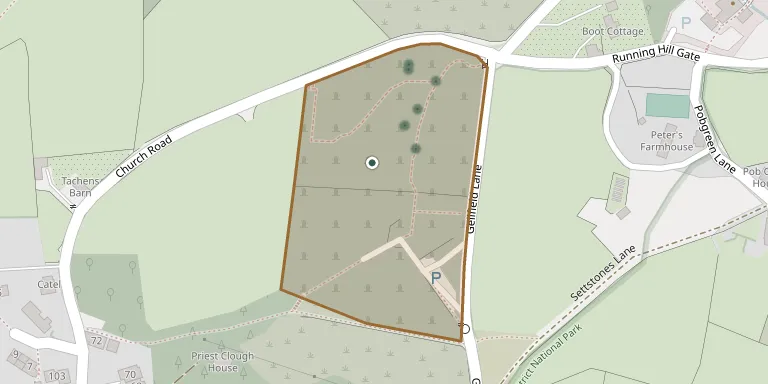
Saddleworth Parish Cemetery sits above Uppermill on Gellfield Lane, near the parish church of St Chad, and is run by Saddleworth Parish Council. It includes two natural burial areas within the traditional cemetery. The cemetery was renovated by councillors in a project reported in 2014.
Cemetery location
GPS: GPS coordinates: 53.552078° N, 1.992516° W Directions in Google Maps (opens in a new tab)
Memorials
37 memorials, A–Z by last name.
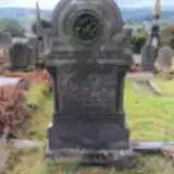 Eliza Buckley ? – 1853
- Emma Buckley ? – 1909
- Fred Buckley 1875 – 1892
- George Buckley ? – 1900
- Hannah Buckley ? – 1853
- Hannah Buckley ? – 1903
- Joseph Buckley ? – 1880
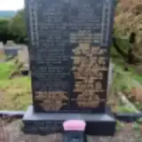 Esther Collins 1880 – 1958
- Florence Collins 1919 – 1999
- James Collins 1919 – 2004
- William Collins 1875 – 1967
- Rebecca Hall 1971 – 1973
- Simon Hall 1970 – 1971
 Charlotte Hampson 1845 – 1930
- George Hampson 1854 – 1925
- Harry Hampson 1913 – 1913
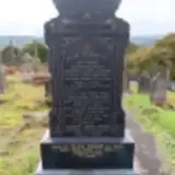 Abraham Hanson ? – 1950
- Agnes Hanson 1867 – 1953
- Joe Hanson ? – 1926
 Geoffrey Hirst 1878 – 1881
- John Hirst ? – 1915
- Charles Kenworthy 1922 – 1988
- Charles Kenworthy ? – 1893
- Ethel Kenworthy ? – 1942
- James Kenworthy ? – 1918
- John Kenworthy ? – 1917
- Mally Kenworthy ? – 1933
- Mary Kenworthy ? – 1941
- Thomas Kenworthy ? – 1963
- Thomas Lacy 1887 – 1953
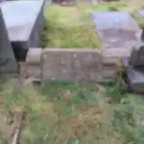 Edward Schofield ? – 1900
- Elizabeth Schofield ? – 1926
- Fred Schofield ? – 1907
- Henry Schofield 1843 – 1916
- Alice Smith ? – 1969
- Hubert Smith ? – 1960
- Betty Stancliffe ? – 1883
Looking for someone who isn't listed? Request a photo.
Nearby cemeteries
The closest other burial grounds listed on EveryStone.
- Valley View 260 m away · Saddleworth
- St. Chad Churchyard 290 m away · Uppermill
- Dale Lane Cemetery, Delph 2.7 km away · Delph · 14 records
- Delph Independent Chapelyard 2.7 km away · Oldham · 15 records
- Greenfield Cemetery 2.8 km away · Greenfield
- Calf Lane Memorial Forest 3.5 km away · Oldham
- St Thomas Churchyard Friarmere 3.7 km away · Oldham · 22 records
- The Church of Saint Anne, Lydgate 3.8 km away · Greenfield
- Lees Cemetery 5.2 km away · Lees
- Christ Church, Denshaw, Oldham 5.4 km away · Oldham
Contribute with the app
Our website works smoothly on both desktop and mobile devices. Prefer a native app? Check it out below.
- Capture clear headstone photos
- Save GPS grave locations automatically
- Transcribe inscriptions with our AI
- Suggest corrections to existing records
Common questions
How big is Saddleworth Parish Council Cemetery?
Saddleworth Parish Council Cemetery covers about 24,000 m² (5.8 acres), about the size of 3 soccer fields. It is the 57th largest of the 226 cemeteries we list in Greater Manchester.
What is the oldest grave in this cemetery?
The oldest grave among the records we hold for Saddleworth Parish Council Cemetery is that of Eliza Buckley, who died on January 7, 1853.