
11
documented records
≈ 110–230
approx. capacity (graves)
5,650 m²
cemetery area
Nov 5, 2026
last modified
About this cemetery
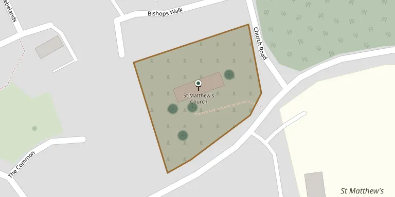
St. Matthew's Churchyard lies in Telford, Shropshire, United Kingdom.
Cemetery location
GPS: GPS coordinates: 52.714813° N, 2.430885° W Directions in Google Maps (opens in a new tab)
Memorials
11 memorials, A–Z by last name.
 Dennis Hobson 1906 – 1992
- Edna Hobson 1905 – 1960
 Ann Johnson ? – 1931
- James Johnson 1859 – 1928
 Olive Lowe 1912 – 1963
- Thomas Lowe ? – 1963
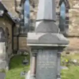 Robert Nicholls 1853 – 1903
- John Pickering 1895 – 1967
- Martha Pickering 1898 – 1984
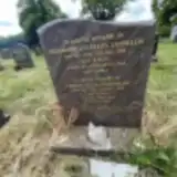 Theodore Twomlow 1939 – 2010
- Violet Twomlow 1940 – 2014
Looking for someone who isn't listed? Request a photo.
Nearby cemeteries
The closest other burial grounds listed on EveryStone.
- Holy Trinity Church, Wrockwardine Wood 1.2 km away · Telford · 6 records
- Telford (Saint George) Churchyard 2.2 km away · Telford · 10 records
- Wombridge Cemetery 2.3 km away · Telford
- St. Peters Churchyard 3.1 km away · Telford
- Red Lake Garden of rest 3.7 km away · Telford · 7 records
- Cemetery near Telford 3.7 km away · Telford
- St. Mary the Virgin Churchyard 3.7 km away · Telford · 6 records
- Hadley Cemetery 4.0 km away · Telford · 9 records
- Sheriffhales Cemetery 4.9 km away · Sheriffhales
- Cemetery near Telford 5.2 km away · Telford
Contribute with the app
Our website works smoothly on both desktop and mobile devices. Prefer a native app? Check it out below.
- Capture clear headstone photos
- Save GPS grave locations automatically
- Transcribe inscriptions with our AI
- Suggest corrections to existing records
Common questions
How big is St. Matthew's Churchyard?
St. Matthew's Churchyard covers about 5,650 m² (1.4 acres), about the size of a soccer field. It is the 67th largest of the 306 cemeteries we list in Shropshire.
What is the oldest grave in this cemetery?
The oldest grave among the records we hold for St. Matthew's Churchyard is that of Robert Nicholls, who died on March 1, 1903 at the age of 50.