
Cemetery #7902
Bishopwearmouth Cemetery
Also known as Bishopwearmouth Cemetery, Sunderland
13
documented records
≈ 6.6k–13k
approx. capacity (graves)
0.332 km²
cemetery area
Nov 5, 2026
last modified
About this cemetery
Bishopwearmouth Cemetery in Sunderland was created after the 1831 cholera epidemic and the resulting overcrowding of churchyards, following the Burial Act of the early 1850s. The 34 acres chosen were glebe land owned by the parish of Bishopwearmouth, sold for £275 per acre. The cemetery has been in use since 1856 and covered 80 acres by 2010. Child victims of the 1883 Victoria Hall disaster are buried here, and its central chapel is a Grade II listed building.
Read more in our story: Cholera Cemeteries: How Epidemics Moved the Dead Out of Town
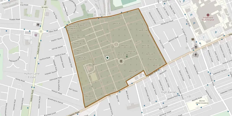
Cemetery location
GPS coordinates: 54.899899° N, 1.420500° W Directions in Google Maps (opens in a new tab)
Memorials
13 memorials, A–Z by surname.
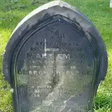 George Anderson 1877 – 1883
- Mary Anderson 1874 – 1874
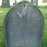 John Burnside 1830 – 1878
 Hannah Lewis 1868 – 1875
- John Lewis 1861 – 1877
- Mary Lewis 1866 – 1881
- Victor Lewis 1864 – 1868
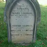 Arthur Lindsay 1972 – 1977
- Edward Lindsay ? – 1878
- George Lindsay ? – 1869
- James Lindsay ? – 1901
- Mary Lindsay ? – 1901
- William Lindsay ? – 1875
Looking for someone who isn't listed? Request a photo.
Nearby cemeteries
The closest other burial grounds listed on EveryStone.
- Jewish Burial Ground, Sunderland 120 m away · Sunderland
- Quaker Burial Ground, Sunderland 150 m away · Sunderland
- Military Cemetery, Sunderland 160 m away · Sunderland
- Jewish Burial Ground, Sunderland 400 m away · Sunderland
- St Mary's Church 2.1 km away · South Hylton
- Ayre's Quay Jewish Burial Ground 2.1 km away · Sunderland
- Bishopwearmouth Churchyard 2.1 km away · Sunderland
- Holy Trinity Churchyard 2.5 km away · Southwick
- Castletown Cemetery 2.5 km away · Sunderland
- Southwick Cemetery 3.0 km away · Southwick
Contribute with the app
Our website works smoothly on both desktop and mobile devices. Prefer a native app? Check it out below.
- Capture clear headstone photos
- Save GPS grave locations automatically
- Transcribe inscriptions with our AI
- Suggest corrections to existing records
Common questions
How big is Bishopwearmouth Cemetery?
Bishopwearmouth Cemetery covers about 33.2 hectares (332,000 m²), a little larger than Kensal Green Cemetery in London. It is the largest of the 95 cemeteries we list in Tyne and Wear.
What is the oldest grave in this cemetery?
The oldest grave among the records we hold for Bishopwearmouth Cemetery is that of Victor Massena Ney Lewis, who died on August 19, 1868 at the age of 4.