
Lower Austria
1,114 known cemeteries in Lower Austria, Austria.
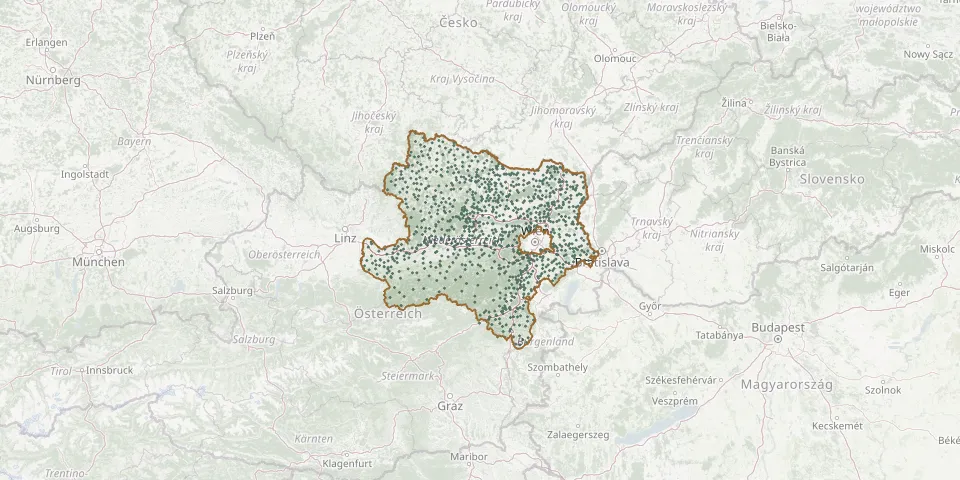 © OpenStreetMap
- Groß-Siegharts Municipal CemeteryGPS coordinates: 48.79173° N, 15.41221° E
- Großstelzendorf CemeteryGPS coordinates: 48.50664° N, 16.10944° E
- Großweikersdorf CemeteryGPS coordinates: 48.47762° N, 15.98537° E
- Großwetzdorf CemeteryGPS coordinates: 48.50019° N, 15.96330° E
- Grünbach am Schneeberg CemeteryGPS coordinates: 47.79793° N, 15.98559° E
- Gschaidt CemeteryGPS coordinates: 47.45849° N, 16.15591° E
- Günselsdorf CemeteryGPS coordinates: 47.94785° N, 16.27621° E
- Guntersdorf CemeteryGPS coordinates: 48.64798° N, 16.04397° E
- Guntramsdorf CemeteryGPS coordinates: 48.05350° N, 16.31570° E
- Gutenstein Mountain CemeteryGPS coordinates: 47.87509° N, 15.88324° E
- Guttenbrunn CemeteryGPS coordinates: 48.74476° N, 16.58033° E
- Haag CemeteryGPS coordinates: 48.11073° N, 14.57276° E
- Hadersdorf CemeteryGPS coordinates: 48.46106° N, 15.72256° E
- Hadres CemeteryGPS coordinates: 48.70616° N, 16.13630° E
- Hafnerbach CemeteryGPS coordinates: 48.21487° N, 15.48945° E
- Hagenberg CemeteryGPS coordinates: 48.63641° N, 16.45203° E
- Haidershofen CemeteryGPS coordinates: 48.07851° N, 14.46122° E
- Haindorf CemeteryGPS coordinates: 48.17882° N, 15.47495° E
- Hainstetten Monastery CemeteryGPS coordinates: 48.15931° N, 14.92421° E
- Haitzendorf CemeteryGPS coordinates: 48.42396° N, 15.73954° E
- Hanfthal CemeteryGPS coordinates: 48.70839° N, 16.36275° E
- Hardt CemeteryGPS coordinates: 48.76369° N, 15.64916° E
- Haringsee CemeteryGPS coordinates: 48.19697° N, 16.77771° E
- Harmannsdorf CemeteryGPS coordinates: 48.39071° N, 16.37337° E
- Harmannsdorf Woodland CemeteryGPS coordinates: 48.41875° N, 16.32050° E
- Haselbach CemeteryGPS coordinates: 48.43682° N, 16.28046° E
- Haslau CemeteryGPS coordinates: 48.11605° N, 16.71164° E
- Haugschlag CemeteryGPS coordinates: 49.00233° N, 15.05533° E
- Haugsdorf CemeteryGPS coordinates: 48.70462° N, 16.08275° E
- Haunoldstein CemeteryGPS coordinates: 48.20126° N, 15.45086° E