
Lower Austria
1,114 known cemeteries in Lower Austria, Austria.
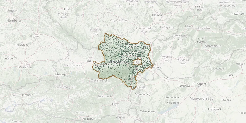 © OpenStreetMap
- Höflein ChurchyardGPS coordinates: 48.06530° N, 16.78906° E
- Hof/Leithageb. CemeteryGPS coordinates: 47.94668° N, 16.58452° E
- Hohenau an der March Christian CemeteryGPS coordinates: 48.61065° N, 16.90473° E
- Hohenau Jewish CemeteryGPS coordinates: 48.60698° N, 16.90010° E
- Hohenberg CemeteryGPS coordinates: 47.90660° N, 15.61575° E
- Höhenberg CemeteryGPS coordinates: 48.77012° N, 14.88001° E
- Hohenruppersdorf CemeteryGPS coordinates: 48.46148° N, 16.66003° E
- Hollabrunn CemeteryGPS coordinates: 48.55864° N, 16.08847° E
- Hollabrunn Jewish CemeteryGPS coordinates: 48.54444° N, 16.07175° E
- Hollabrunn Russian War CemeteryGPS coordinates: 48.55413° N, 16.08499° E
- Hollenstein an der Ybbs CemeteryGPS coordinates: 47.80271° N, 14.77541° E
- Hollenthon CemeteryGPS coordinates: 47.59134° N, 16.26161° E
- Hollern CemeteryGPS coordinates: 48.07429° N, 16.90006° E
- Hölles CemeteryGPS coordinates: 47.89997° N, 16.20377° E
- Hörersdorf CemeteryGPS coordinates: 48.62563° N, 16.52114° E
- Horn CemeteryGPS coordinates: 48.66224° N, 15.65172° E
- Horn Jewish CemeteryGPS coordinates: 48.65728° N, 15.66606° E
- Hundsheim CemeteryGPS coordinates: 48.11863° N, 16.93290° E
- Hürm CemeteryGPS coordinates: 48.15359° N, 15.41019° E
- Hüttendorf CemeteryGPS coordinates: 48.56801° N, 16.53591° E
- Idolsberg CemeteryGPS coordinates: 48.59671° N, 15.47769° E
- Immendorf CemeteryGPS coordinates: 48.64874° N, 16.12578° E
- Inzersdorf CemeteryGPS coordinates: 48.32052° N, 15.67371° E
- Islamische GruppenGPS coordinates: 48.14894° N, 16.44569° E
- Jagenbach CemeteryGPS coordinates: 48.63743° N, 15.03688° E
- Japons CemeteryGPS coordinates: 48.79121° N, 15.56950° E
- Jetzelsdorf CemeteryGPS coordinates: 48.70501° N, 16.05605° E
- Jeutendorf CemeteryGPS coordinates: 48.24439° N, 15.74465° E
- Jewish Cemetery YbbsGPS coordinates: 48.16005° N, 15.07061° E
- Kalksburg CemeteryGPS coordinates: 48.14002° N, 16.25676° E