
Lower Austria
1,114 known cemeteries in Lower Austria, Austria.
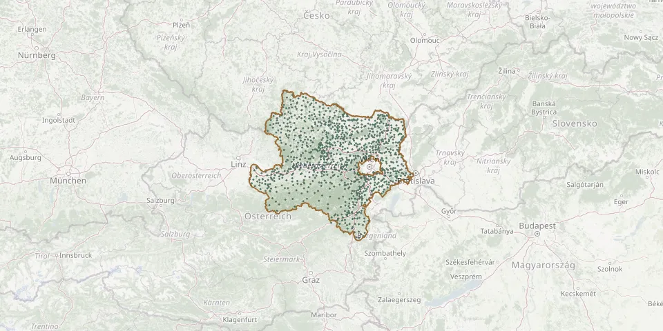 © OpenStreetMap
- Kaltenleutgeben Woodland CemeteryGPS coordinates: 48.12096° N, 16.19611° E
- Kammersdorf CemeteryGPS coordinates: 48.62744° N, 16.24093° E
- Karlstetten CemeteryGPS coordinates: 48.25855° N, 15.56620° E
- Karlstift CemeteryGPS coordinates: 48.59093° N, 14.74798° E
- Karnabrunn CemeteryGPS coordinates: 48.46343° N, 16.36346° E
- Kattau CemeteryGPS coordinates: 48.67162° N, 15.80580° E
- Katzelsdorf CemeteryGPS coordinates: 48.70298° N, 16.78237° E
- Katzelsdorf CemeteryGPS coordinates: 47.77231° N, 16.26353° E
- Kaumberg CemeteryGPS coordinates: 48.02235° N, 15.89494° E
- Kautzen CemeteryGPS coordinates: 48.93222° N, 15.23627° E
- Kematen an der Ybbs CemeteryGPS coordinates: 48.02535° N, 14.75468° E
- Kettlasbrunn CemeteryGPS coordinates: 48.55887° N, 16.65290° E
- Ketzelsdorf CemeteryGPS coordinates: 48.64903° N, 16.65265° E
- Kiblitz CemeteryGPS coordinates: 48.53536° N, 15.97382° E
- Kierling CemeteryGPS coordinates: 48.30674° N, 16.27231° E
- Kirchau CemeteryGPS coordinates: 47.65655° N, 16.09907° E
- Kirchberg am Wagram CemeteryGPS coordinates: 48.43263° N, 15.89972° E
- Kirchberg am Walde CemeteryGPS coordinates: 48.72613° N, 15.09173° E
- Kirchberg an der Wild CemeteryGPS coordinates: 48.75076° N, 15.40930° E
- Kirchberg CemeteryGPS coordinates: 47.61204° N, 15.98248° E
- Kirchberg/Wagram New CemeteryGPS coordinates: 48.43490° N, 15.90199° E
- Kirchhhof HardeggGPS coordinates: 48.85445° N, 15.85752° E
- Kirchschlag CemeteryGPS coordinates: 48.39588° N, 15.22548° E
- Kirchstetten CemeteryGPS coordinates: 48.18257° N, 15.81812° E
- Kirchstetten CemeteryGPS coordinates: 48.73206° N, 16.50942° E
- Kirnberg an der Mank CemeteryGPS coordinates: 48.07052° N, 15.32581° E
- Klamm CemeteryGPS coordinates: 47.66054° N, 15.86823° E
- Klausen-Leopoldsdorf CemeteryGPS coordinates: 48.08433° N, 16.02435° E
- Kleinengersdorf CemeteryGPS coordinates: 48.33246° N, 16.38960° E
- Kleinhadersdorf CemeteryGPS coordinates: 48.66958° N, 16.58854° E