
Lower Austria
1,114 known cemeteries in Lower Austria, Austria.
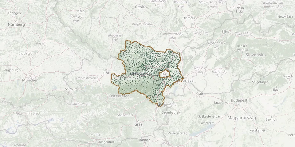 © OpenStreetMap
- Trabenreith CemeteryGPS coordinates: 48.76154° N, 15.57266° E
- Traiskirchen CemeteryGPS coordinates: 48.02251° N, 16.28302° E
- Trattenbach CemeteryGPS coordinates: 47.60308° N, 15.89234° E
- Traunfeld CemeteryGPS coordinates: 48.44433° N, 16.52447° E
- Trautmannsdorf an der Leitha CemeteryGPS coordinates: 48.02557° N, 16.64610° E
- Tribuswinkel CemeteryGPS coordinates: 48.00376° N, 16.26966° E
- Trumau CemeteryGPS coordinates: 47.99680° N, 16.34284° E
- Tulbing Municipal CemeteryGPS coordinates: 48.28821° N, 16.12250° E
- Tulbing Parish CemeteryGPS coordinates: 48.28966° N, 16.12342° E
- Tulln CemeteryGPS coordinates: 48.33080° N, 16.05980° E
- Tulln Jewish CemeteryGPS coordinates: 48.32349° N, 16.05655° E
- Türnitz CemeteryGPS coordinates: 47.93410° N, 15.49504° E
- Ulmerfeld CemeteryGPS coordinates: 48.07420° N, 14.82405° E
- Ulrichskirchen CemeteryGPS coordinates: 48.39486° N, 16.49179° E
- Ungerbach CemeteryGPS coordinates: 47.46974° N, 16.27974° E
- Unteraspang CemeteryGPS coordinates: 47.57035° N, 16.09887° E
- Unterbergern CemeteryGPS coordinates: 48.37602° N, 15.54689° E
- Unterdürnbach CemeteryGPS coordinates: 48.57997° N, 15.87303° E
- Untermarkersdorf CemeteryGPS coordinates: 48.71201° N, 16.11432° E
- Unternalb CemeteryGPS coordinates: 48.74097° N, 15.95187° E
- Unterolberndorf CemeteryGPS coordinates: 48.43296° N, 16.47276° E
- Unterpertholz ChurchyardGPS coordinates: 48.93102° N, 15.47658° E
- Unterradlberg CemeteryGPS coordinates: 48.25538° N, 15.67734° E
- Unterretzbach CemeteryGPS coordinates: 48.76304° N, 16.01103° E
- Unterstinkenbrunn CemeteryGPS coordinates: 48.66898° N, 16.34805° E
- Untertullnerbach CemeteryGPS coordinates: 48.18488° N, 16.11915° E
- Unterwölbling CemeteryGPS coordinates: 48.32375° N, 15.61338° E
- Urnenwald TernitzGPS coordinates: 47.73042° N, 16.03909° E
- Velm CemeteryGPS coordinates: 48.04497° N, 16.45306° E
- Velm-Götzendorf CemeteryGPS coordinates: 48.47080° N, 16.78550° E