
Región de los Lagos
142 known cemeteries in Región de los Lagos, Chile.
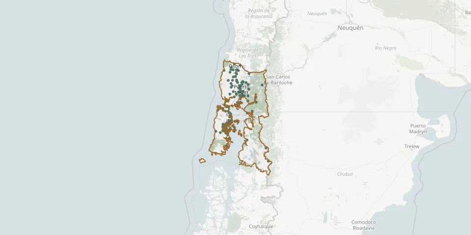 © OpenStreetMap
- Aguas Azules de Calbuco Municipal Park CemeteryGPS coordinates: 41.79306° S, 73.15115° W
- Ahoni CemeteryGPS coordinates: 42.75642° S, 73.56182° W
- Alao CemeteryGPS coordinates: 42.60022° S, 73.29889° W
- Aldachildo CemeteryGPS coordinates: 42.58154° S, 73.61042° W
- Alfaro CemeteryGPS coordinates: 41.66853° S, 72.99141° W
- Ancud Municipal CemeteryGPS coordinates: 41.87506° S, 73.80727° W
- Apiao CemeteryGPS coordinates: 42.59058° S, 73.22477° W
- Aucar CemeteryGPS coordinates: 42.16164° S, 73.47920° W
- Aucho CemeteryGPS coordinates: 42.06054° S, 73.43206° W
- Bahía Mansa Municipal CemeteryGPS coordinates: 40.58946° S, 73.73218° W
- Cahuach CemeteryGPS coordinates: 42.51051° S, 73.26428° W
- Caicaén CemeteryGPS coordinates: 41.79484° S, 73.18806° W
- Calbuco Municipal CemeteryGPS coordinates: 41.77390° S, 73.13179° W
- Calén CemeteryGPS coordinates: 42.33092° S, 73.45944° W
- Carelmapu CemeteryGPS coordinates: 41.74883° S, 73.71157° W
- Casa de Lata Cemetery (Lefián)GPS coordinates: 40.67754° S, 73.18845° W
- Casma CemeteryGPS coordinates: 41.00319° S, 73.12575° W
- Castro Municipal CemeteryGPS coordinates: 42.46680° S, 73.78635° W
- Castro Parish CemeteryGPS coordinates: 42.47744° S, 73.77122° W
- Caulín CemeteryGPS coordinates: 41.82135° S, 73.61267° W
- Cemeterio Parroquial de ChacaoGPS coordinates: 41.82846° S, 73.52693° W
- Chahuilco CemeteryGPS coordinates: 40.71481° S, 73.16676° W
- Chaicas CemeteryGPS coordinates: 41.62408° S, 72.66613° W
- Chaitén Municipal CemeteryGPS coordinates: 42.92055° S, 72.70279° W
- Chapaco, Rio Negro, Osorno CemeteryGPS coordinates: 40.79787° S, 73.22847° W
- Chaulinec CemeteryGPS coordinates: 42.63497° S, 73.27538° W
- Chelín Bajo CemeteryGPS coordinates: 42.60017° S, 73.51719° W
- Chonchi CemeteryGPS coordinates: 42.62575° S, 73.76358° W
- Cochamó CemeteryGPS coordinates: 41.49356° S, 72.31232° W
- Cocotué CemeteryGPS coordinates: 41.93362° S, 74.01038° W