
Brandenburg
2,113 known cemeteries in Brandenburg, Germany.
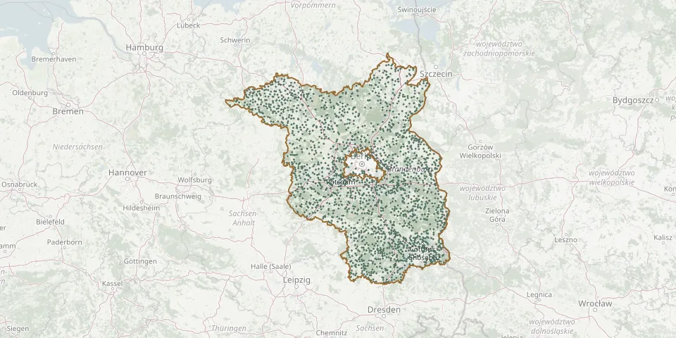 © OpenStreetMap
- Laehrsch'er Private Cemetery, TeltowGPS coordinates: 52.42703° N, 13.26429° E
- Lamsfeld CemeteryGPS coordinates: 51.98154° N, 14.21746° E
- Landesanstalt Görden CemeteryGPS coordinates: 52.42172° N, 12.48462° E
- Landin CemeteryGPS coordinates: 52.66325° N, 12.53616° E
- Langen CemeteryGPS coordinates: 52.84131° N, 12.80394° E
- Langendamm CemeteryGPS coordinates: 52.33978° N, 13.94071° E
- Langenlipsdorf CemeteryGPS coordinates: 51.91744° N, 13.09287° E
- Langennaundorf CemeteryGPS coordinates: 51.60475° N, 13.34092° E
- Langennaundorf CemeteryGPS coordinates: 51.60594° N, 13.34888° E
- Langewahl CemeteryGPS coordinates: 52.32323° N, 14.10112° E
- Lanz CemeteryGPS coordinates: 53.07606° N, 11.60096° E
- Laubsdorf CemeteryGPS coordinates: 51.67683° N, 14.44092° E
- Lauchhammer-Mitte CemeteryGPS coordinates: 51.50250° N, 13.76260° E
- Lauchhammer-Ost CemeteryGPS coordinates: 51.49975° N, 13.78479° E
- Lauchhammer-Süd CemeteryGPS coordinates: 51.47073° N, 13.79132° E
- Lauchhammer-West CemeteryGPS coordinates: 51.47833° N, 13.71806° E
- Lauschütz CemeteryGPS coordinates: 52.00276° N, 14.62212° E
- Lawitz CemeteryGPS coordinates: 52.11060° N, 14.63936° E
- Lebbin CemeteryGPS coordinates: 52.29689° N, 13.94595° E
- Lebusa CemeteryGPS coordinates: 51.79342° N, 13.42045° E
- Lebus CemeteryGPS coordinates: 52.43080° N, 14.53907° E
- Lebus Russian War CemeteryGPS coordinates: 52.42677° N, 14.53618° E
- Leeskow CemeteryGPS coordinates: 52.01725° N, 14.41333° E
- Leeskow CemeteryGPS coordinates: 51.60345° N, 14.08977° E
- Legde CemeteryGPS coordinates: 52.91885° N, 11.97287° E
- Lehndorf CemeteryGPS coordinates: 51.49426° N, 13.22965° E
- Leibchel CemeteryGPS coordinates: 52.03052° N, 14.07608° E
- Leißnitz CemeteryGPS coordinates: 52.11226° N, 14.21902° E
- Lenzen CemeteryGPS coordinates: 53.09794° N, 11.47284° E
- Lenzen Former Jewish CemeteryGPS coordinates: 53.09911° N, 11.47233° E