
Brandenburg
2,113 known cemeteries in Brandenburg, Germany.
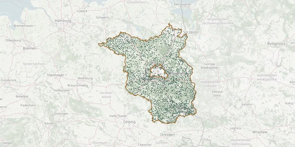 © OpenStreetMap
- Rosenthal Cemetery at the Railway StationGPS coordinates: 52.38944° N, 12.36466° E
- Rosenwinkel CemeteryGPS coordinates: 53.04578° N, 12.37543° E
- Roskow Village CemeteryGPS coordinates: 52.47231° N, 12.71629° E
- Rosow CemeteryGPS coordinates: 53.30681° N, 14.38640° E
- Rotberg CemeteryGPS coordinates: 52.34076° N, 13.50667° E
- Rotberg ChurchyardGPS coordinates: 52.34212° N, 13.51314° E
- Rothstein CemeteryGPS coordinates: 51.56068° N, 13.41949° E
- Rottstock CemeteryGPS coordinates: 52.20008° N, 12.34974° E
- Rottstock CemeteryGPS coordinates: 52.17697° N, 12.74793° E
- Rübehorst CemeteryGPS coordinates: 52.79104° N, 12.32945° E
- Ruben CemeteryGPS coordinates: 51.79553° N, 14.22252° E
- Ruben Expellees' CemeteryGPS coordinates: 51.80753° N, 14.21208° E
- Rückersdorf CemeteryGPS coordinates: 51.58047° N, 13.56448° E
- Rüdersdorf CemeteryGPS coordinates: 52.46497° N, 13.81440° E
- Rüdersdorf Cemetery, GrundGPS coordinates: 52.47161° N, 13.79825° E
- Rüdingsdorf CemeteryGPS coordinates: 51.89759° N, 13.67305° E
- Rudow ChurchyardGPS coordinates: 52.40930° N, 13.51229° E
- RuheForst EberswaldeGPS coordinates: 52.86288° N, 13.84706° E
- RuheForst SchlaubetalGPS coordinates: 52.16629° N, 14.44080° E
- RuheForst StrausbergGPS coordinates: 52.54397° N, 13.86887° E
- Ruhland CemeteryGPS coordinates: 51.45310° N, 13.86463° E
- Ruhland Soviet War CemeteryGPS coordinates: 51.45409° N, 13.86445° E
- Ruhleben CemeteryGPS coordinates: 52.52396° N, 13.23088° E
- Ruhlsdorf CemeteryGPS coordinates: 52.82319° N, 13.56234° E
- Ruhlsdorf Former Estate CemeteryGPS coordinates: 52.36909° N, 13.27093° E
- Ruhlsdorf War CemeteryGPS coordinates: 52.12847° N, 13.16537° E
- Russisch-orthodoxer CemeteryGPS coordinates: 52.41648° N, 13.05663° E
- Rutenberg CemeteryGPS coordinates: 53.25404° N, 13.30547° E
- Rüthnick CemeteryGPS coordinates: 52.88095° N, 12.99747° E
- Rüthnick Evangelical Parish CemeteryGPS coordinates: 52.88117° N, 13.00363° E