
Brandenburg
2,113 known cemeteries in Brandenburg, Germany.
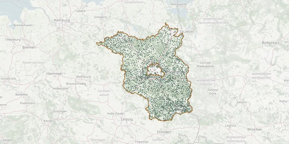 © OpenStreetMap
- Silmersdorf CemeteryGPS coordinates: 53.26398° N, 12.12302° E
- Simmersdorf CemeteryGPS coordinates: 51.69151° N, 14.59876° E
- Slamen German War CemeteryGPS coordinates: 51.57366° N, 14.38796° E
- SoldatenbergGPS coordinates: 52.35170° N, 14.04571° E
- Söllenthin CemeteryGPS coordinates: 52.94332° N, 12.16256° E
- Sommerfeld CemeteryGPS coordinates: 52.80079° N, 13.03433° E
- Sonnewalde CemeteryGPS coordinates: 51.69124° N, 13.64739° E
- Sonnewalde New CemeteryGPS coordinates: 51.68389° N, 13.64802° E
- Sophienthal CemeteryGPS coordinates: 52.64628° N, 14.45831° E
- Sorno CemeteryGPS coordinates: 51.56489° N, 13.67426° E
- Sowjetisches EhrenmalGPS coordinates: 52.99822° N, 11.75013° E
- Sowjetisches EhrenmalGPS coordinates: 52.41209° N, 13.22069° E
- Spaatz CemeteryGPS coordinates: 52.70994° N, 12.31588° E
- Spaatz CemeteryGPS coordinates: 52.70401° N, 12.30937° E
- Sperenberg New CemeteryGPS coordinates: 52.14325° N, 13.36697° E
- Sperenberg Old CemeteryGPS coordinates: 52.14099° N, 13.36634° E
- Spiegelhagen CemeteryGPS coordinates: 53.08590° N, 11.89970° E
- Spreenhagen CemeteryGPS coordinates: 52.34424° N, 13.87725° E
- Spremberg CemeteryGPS coordinates: 51.57116° N, 14.38853° E
- Staaken CemeteryGPS coordinates: 52.52512° N, 13.13205° E
- Staakow CemeteryGPS coordinates: 52.02894° N, 13.69444° E
- Staakow CemeteryGPS coordinates: 51.98579° N, 14.41065° E
- Staakow Jewish CemeteryGPS coordinates: 51.98785° N, 14.39744° E
- Stahnsdorf CemeteryGPS coordinates: 52.38688° N, 13.21968° E
- Staupitz CemeteryGPS coordinates: 51.53409° N, 13.66886° E
- St. BricciusGPS coordinates: 52.13660° N, 12.58360° E
- St. Catherine Cemetery, HerzbergGPS coordinates: 51.68881° N, 13.22987° E
- Stechau CemeteryGPS coordinates: 51.68998° N, 13.46222° E
- Stechow HavellandGPS coordinates: 52.63097° N, 12.46026° E
- Steckelsdorf CemeteryGPS coordinates: 52.60592° N, 12.27919° E