
Schleswig-Holstein
612 known cemeteries in Schleswig-Holstein, Germany.
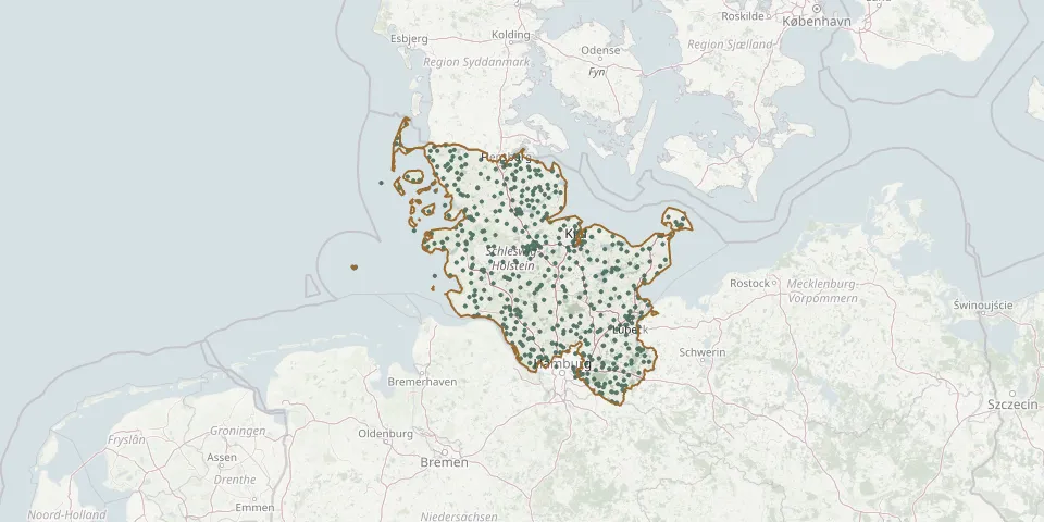 © OpenStreetMap
- Süderbrarup CemeteryGPS coordinates: 54.63553° N, 9.78127° E
- Süderende Cemetery on FöhrGPS coordinates: 54.71627° N, 8.43523° E
- Süderhastedt ChurchyardGPS coordinates: 54.04845° N, 9.20709° E
- Süderlügum ChurchyardGPS coordinates: 54.87311° N, 8.90726° E
- Süderoogsand / HeverGPS coordinates: 54.39996° N, 8.50002° E
- Süderstapel CemeteryGPS coordinates: 54.34959° N, 9.21260° E
- Süderstapel ChurchyardGPS coordinates: 54.34866° N, 9.21720° E
- Sülfeld ChurchyardGPS coordinates: 53.80112° N, 10.23090° E
- Süsel CemeteryGPS coordinates: 54.07498° N, 10.71772° E
- Suterballig ChurchyardGPS coordinates: 54.74907° N, 9.89795° E
- Sylt-Wenningstedt CemeteryGPS coordinates: 54.94090° N, 8.32791° E
- Taarstedt CemeteryGPS coordinates: 54.57532° N, 9.69137° E
- Tarp Woodland CemeteryGPS coordinates: 54.67090° N, 9.41220° E
- Tating ChurchyardGPS coordinates: 54.32520° N, 8.70411° E
- Tellingstedt CemeteryGPS coordinates: 54.21737° N, 9.27286° E
- Tertiussand - SüderpiepGPS coordinates: 54.13272° N, 8.70978° E
- Tetenbüll CemeteryGPS coordinates: 54.35338° N, 8.83229° E
- Tinnum auf SyltGPS coordinates: 54.90905° N, 8.32200° E
- Todenbüttel New CemeteryGPS coordinates: 54.12953° N, 9.55315° E
- Todenbüttel Old CemeteryGPS coordinates: 54.12889° N, 9.55587° E
- Todesfelde CemeteryGPS coordinates: 53.89570° N, 10.18072° E
- Tolk CemeteryGPS coordinates: 54.57806° N, 9.64051° E
- Tönning New CemeteryGPS coordinates: 54.31988° N, 8.93785° E
- Tönning Old CemeteryGPS coordinates: 54.31862° N, 8.94692° E
- Tornesch CemeteryGPS coordinates: 53.69279° N, 9.70714° E
- Tralau CemeteryGPS coordinates: 53.83701° N, 10.29871° E
- Tramm ChurchyardGPS coordinates: 53.56346° N, 10.61515° E
- Trappenkamp Woodland CemeteryGPS coordinates: 54.03657° N, 10.22887° E
- Treia CemeteryGPS coordinates: 54.51330° N, 9.32153° E
- Trittau Evangelical Lutheran Parish CemeteryGPS coordinates: 53.61390° N, 10.40420° E