
Gelderland
475 known cemeteries in Gelderland, Netherlands.
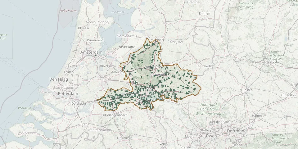 © OpenStreetMap
- Alverna Monastery CemeteryGPS coordinates: 51.80245° N, 5.75286° E
- Ammerzoden Roman Catholic CemeteryGPS coordinates: 51.75085° N, 5.22825° E
- Andelst ChurchyardGPS coordinates: 51.90578° N, 5.72782° E
- Angeren Roman Catholic CemeteryGPS coordinates: 51.91710° N, 5.96270° E
- Angerlo General CemeteryGPS coordinates: 51.99519° N, 6.14101° E
- Antonius Abtkerk ChurchyardGPS coordinates: 52.12160° N, 6.02170° E
- Antonius van Padua Roman Catholic CemeteryGPS coordinates: 51.75827° N, 5.94171° E
- Apeldoorn Jewish CemeteryGPS coordinates: 52.19703° N, 5.96179° E
- Arkel General CemeteryGPS coordinates: 51.85113° N, 4.99186° E
- Asch CemeteryGPS coordinates: 51.93131° N, 5.31018° E
- Asperen General CemeteryGPS coordinates: 51.88010° N, 5.11020° E
- Azewijn CemeteryGPS coordinates: 51.88622° N, 6.30489° E
- Baak CemeteryGPS coordinates: 52.07907° N, 6.22580° E
- Babberich CemeteryGPS coordinates: 51.90711° N, 6.11928° E
- Barchem General CemeteryGPS coordinates: 52.12460° N, 6.44154° E
- Barneveld De Plantage CemeteryGPS coordinates: 52.13532° N, 5.57189° E
- Barneveld General CemeteryGPS coordinates: 52.14089° N, 5.57888° E
- Barneveld Jewish CemeteryGPS coordinates: 52.14095° N, 5.57809° E
- Beesd CemeteryGPS coordinates: 51.89120° N, 5.18850° E
- Beesd Jewish CemeteryGPS coordinates: 51.89855° N, 5.18914° E
- Begraaf- en Gedenkpark Heilig Land StichtingGPS coordinates: 51.81891° N, 5.89250° E
- Belgisch Militair Ereveld 1914-1918GPS coordinates: 52.34728° N, 5.64040° E
- Beltrum CemeteryGPS coordinates: 52.06810° N, 6.56270° E
- Bemmel CemeteryGPS coordinates: 51.89312° N, 5.89721° E
- Beneden-Leeuwen Cemetery of Honour of the Shock TroopsGPS coordinates: 51.88084° N, 5.51750° E
- Berg en Dal CemeteryGPS coordinates: 51.81860° N, 5.91610° E
- Bergh (Beek) Roman Catholic ChurchyardGPS coordinates: 51.90783° N, 6.18951° E
- Bergh Jewish CemeteryGPS coordinates: 51.87999° N, 6.24682° E
- Berkenhove General CemeteryGPS coordinates: 51.93421° N, 6.57587° E
- Beth Chaim Jewish CemeteryGPS coordinates: 52.33305° N, 5.62806° E