
Gelderland
475 known cemeteries in Gelderland, Netherlands.
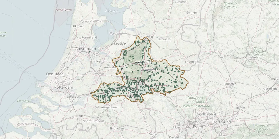 © OpenStreetMap
- Halle Protestant CemeteryGPS coordinates: 51.99210° N, 6.42494° E
- Hall General CemeteryGPS coordinates: 52.10681° N, 6.09267° E
- Hall Old CemeteryGPS coordinates: 52.11094° N, 6.10419° E
- H. Antonius AbtGPS coordinates: 51.93103° N, 5.98786° E
- H. Antonius Abt Malden CemeteryGPS coordinates: 51.78163° N, 5.85069° E
- Harreveld CemeteryGPS coordinates: 51.97942° N, 6.51619° E
- Hatert CemeteryGPS coordinates: 51.80682° N, 5.82055° E
- Hattem General CemeteryGPS coordinates: 52.46921° N, 6.07506° E
- Hedel CemeteryGPS coordinates: 51.74700° N, 5.25920° E
- Heerde Dutch War GravesGPS coordinates: 52.39168° N, 6.03495° E
- Heerewaarden CemeteryGPS coordinates: 51.81910° N, 5.39660° E
- Heidehof CemeteryGPS coordinates: 52.17630° N, 5.93030° E
- Heidepol Natural Burial GroundGPS coordinates: 52.03308° N, 5.82738° E
- Hellouw CemeteryGPS coordinates: 51.82355° N, 5.17681° E
- Hengelo CemeteryGPS coordinates: 52.04950° N, 6.31490° E
- Hengelo Roman Catholic CemeteryGPS coordinates: 52.04320° N, 6.31000° E
- Herveld CemeteryGPS coordinates: 51.91086° N, 5.74220° E
- Herveld CemeteryGPS coordinates: 51.89822° N, 5.74858° E
- Hervormde DorpskerkGPS coordinates: 51.92910° N, 5.71600° E
- Herwijnen General CemeteryGPS coordinates: 51.82008° N, 5.13349° E
- Heselenberg CemeteryGPS coordinates: 51.78125° N, 5.92325° E
- Heteren CemeteryGPS coordinates: 51.95988° N, 5.74806° E
- Heteren Dutch Reformed Church CemeteryGPS coordinates: 51.96160° N, 5.75540° E
- Heteren General CemeteryGPS coordinates: 51.95309° N, 5.75741° E
- Het HeideparkGPS coordinates: 52.17161° N, 6.07450° E
- Heukelum General CemeteryGPS coordinates: 51.87177° N, 5.06289° E
- H.H. Petrus en Paulus Roman Catholic CemeteryGPS coordinates: 51.89400° N, 6.37540° E
- Hien General CemeteryGPS coordinates: 51.90810° N, 5.66700° E
- H. Martinusparochie CemeteryGPS coordinates: 51.91868° N, 6.33430° E
- Hoenderloo Dutch Reformed CemeteryGPS coordinates: 52.12010° N, 5.88050° E