
Vestland
288 known cemeteries in Vestland, Norway.
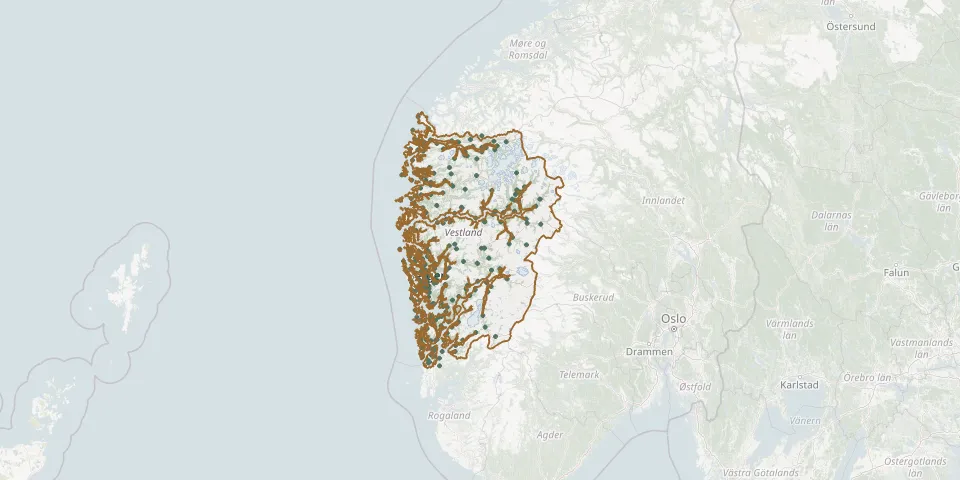 © OpenStreetMap
- Baldersheim CemeteryGPS coordinates: 60.15414° N, 5.75735° E
- Bergen DomkirkegaardenGPS coordinates: 60.39389° N, 5.33056° E
- Bergen-Solheim German WAR CemeteryGPS coordinates: 60.37227° N, 5.33873° E
- Berjaflot CemeteryGPS coordinates: 60.06261° N, 6.54253° E
- Berle CemeteryGPS coordinates: 61.82770° N, 5.11528° E
- Biskopshavn ChurchyardGPS coordinates: 60.42466° N, 5.29901° E
- Bjelland CemeteryGPS coordinates: 59.54705° N, 5.37103° E
- Bjoa ChurchyardGPS coordinates: 59.66526° N, 5.64391° E
- Bjordal kyrkjeGPS coordinates: 61.07529° N, 5.82915° E
- Blomreina CemeteryGPS coordinates: 61.45030° N, 5.88275° E
- Blomvaag Church CemeteryGPS coordinates: 60.53279° N, 4.87422° E
- Bømlo gamle kyrkjegardGPS coordinates: 59.60872° N, 5.21461° E
- Bømlo kyrkjeGPS coordinates: 59.60458° N, 5.21109° E
- Bønes ChurchyardGPS coordinates: 60.33041° N, 5.30414° E
- Botnane CemeteryGPS coordinates: 61.72061° N, 4.99163° E
- Bøvågen CemeteryGPS coordinates: 60.70650° N, 4.93116° E
- Breim CemeteryGPS coordinates: 61.73401° N, 6.40813° E
- Bremnes CemeteryGPS coordinates: 59.79491° N, 5.17514° E
- Bruntveit CemeteryGPS coordinates: 60.03597° N, 5.43367° E
- Bruvik CemeteryGPS coordinates: 60.47925° N, 5.67808° E
- Bygstad CemeteryGPS coordinates: 61.37903° N, 5.66109° E
- Dale CemeteryGPS coordinates: 61.36237° N, 5.39685° E
- Dale KyrkjegardenGPS coordinates: 60.57863° N, 5.79925° E
- Dale Old CemeteryGPS coordinates: 61.44195° N, 7.45519° E
- Davik CemeteryGPS coordinates: 61.89245° N, 5.53210° E
- Eide CemeteryGPS coordinates: 60.22968° N, 5.87174° E
- Eidfjord ChurchyardGPS coordinates: 60.46251° N, 7.07037° E
- Eidsvåg CemeteryGPS coordinates: 60.43412° N, 5.31882° E
- Eikefjord CemeteryGPS coordinates: 61.58718° N, 5.46272° E
- Eikeland New CemeteryGPS coordinates: 59.62764° N, 5.40754° E