
Vestland
288 known cemeteries in Vestland, Norway.
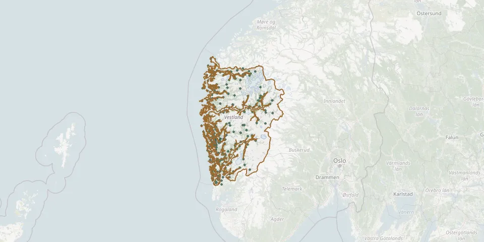 © OpenStreetMap
- Fusa Old ChurchyardGPS coordinates: 60.20443° N, 5.62751° E
- Fyllingsdalen CemeteryGPS coordinates: 60.35101° N, 5.30128° E
- Gåsland ChurchyardGPS coordinates: 59.80132° N, 5.16852° E
- Gaupne ChurchyardGPS coordinates: 61.40985° N, 7.28742° E
- Gaupne Gamle KirkeGPS coordinates: 61.40843° N, 7.29594° E
- Gimmestad CemeteryGPS coordinates: 61.77218° N, 6.14421° E
- Gjelsvik CemeteryGPS coordinates: 61.45932° N, 5.39542° E
- Gjerde CemeteryGPS coordinates: 59.66412° N, 5.93480° E
- Gjerstad kyrkjeGPS coordinates: 60.50013° N, 5.54782° E
- Gjersvik CemeteryGPS coordinates: 60.04267° N, 5.56521° E
- Granvin KyrkjegårdGPS coordinates: 60.55520° N, 6.73200° E
- GravdalspollenGPS coordinates: 60.38349° N, 5.26966° E
- Grotle CemeteryGPS coordinates: 61.83636° N, 4.93347° E
- Guddal CemeteryGPS coordinates: 61.24637° N, 5.53188° E
- Hafslo Church CemeteryGPS coordinates: 61.31093° N, 7.18424° E
- Hamre ChurchGPS coordinates: 60.54512° N, 5.35059° E
- Hauge Church CemeteryGPS coordinates: 61.09919° N, 7.49485° E
- Haugsvær Soviet War GravesGPS coordinates: 60.88771° N, 5.46460° E
- Haus CemeteryGPS coordinates: 60.45395° N, 5.49342° E
- Heggjabygda CemeteryGPS coordinates: 61.93511° N, 6.26668° E
- Helgheim CemeteryGPS coordinates: 61.56046° N, 6.40107° E
- Hennøystranda CemeteryGPS coordinates: 61.81445° N, 5.22913° E
- Herand CemeteryGPS coordinates: 60.34007° N, 6.37197° E
- Herdla CemeteryGPS coordinates: 60.56825° N, 4.95054° E
- Hillestveit ChurchyardGPS coordinates: 59.60343° N, 5.20828° E
- Hjartnes CemeteryGPS coordinates: 60.10316° N, 5.72741° E
- Hjelme ChurchyardGPS coordinates: 60.65098° N, 4.79719° E
- Holmedal Church CemeteryGPS coordinates: 61.35899° N, 5.18830° E
- Holsen ChurchyardGPS coordinates: 61.41871° N, 6.15474° E
- Holvika CemeteryGPS coordinates: 61.92944° N, 5.08288° E