
Lublin Voivodeship
1,041 known cemeteries in Lublin Voivodeship, Poland.
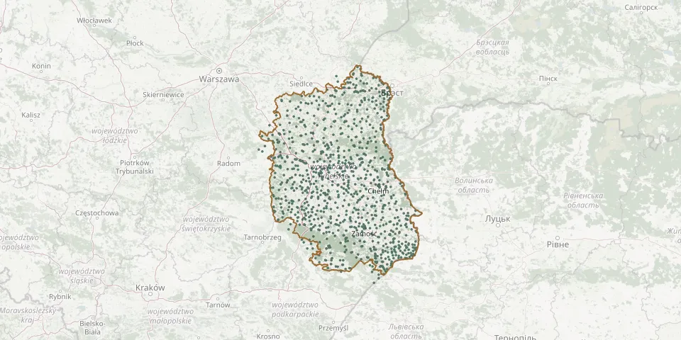 © OpenStreetMap
- Żdżarka Orthodox Cemetery (closed)GPS coordinates: 51.46369° N, 23.43456° E
- Zdziłowice Czwarte Parish CemeteryGPS coordinates: 50.80838° N, 22.53631° E
- Zembry Our Lady Queen of Poland Parish CemeteryGPS coordinates: 52.04194° N, 22.53443° E
- Żerniki Orthodox CemeteryGPS coordinates: 50.47925° N, 23.73877° E
- Żeszczynka Uniate Cemetery (now Roman Catholic)GPS coordinates: 51.79741° N, 23.30877° E
- Zezulin Pierwszy CemeteryGPS coordinates: 51.35216° N, 22.84880° E
- Zezulin Pierwszy German Colonists' CemeteryGPS coordinates: 51.36837° N, 22.85713° E
- Zimno Denominational Cemetery (now Orthodox)GPS coordinates: 50.50677° N, 23.71680° E
- Złojec CemeteryGPS coordinates: 50.77781° N, 23.11923° E
- Żmudź Parish CemeteryGPS coordinates: 51.02451° N, 23.66946° E
- Żmudź Soviet Prisoner-of-War CemeteryGPS coordinates: 51.00973° N, 23.67042° E
- Żniatyn Parish CemeteryGPS coordinates: 50.47177° N, 23.97096° E
- Zofibór CemeteryGPS coordinates: 51.83452° N, 22.37262° E
- Żołnierzy Wojska Polskiego CemeteryGPS coordinates: 51.55167° N, 23.55662° E
- Zubowice Roman Catholic CemeteryGPS coordinates: 50.61775° N, 23.57411° E
- Żuków Roman Catholic CemeteryGPS coordinates: 51.60402° N, 23.41691° E
- Żulice Parish CemeteryGPS coordinates: 50.53188° N, 23.80915° E
- Zwierzyniec Jewish CemeteryGPS coordinates: 50.61962° N, 22.97832° E
- Zwierzyniec War CemeteryGPS coordinates: 50.60852° N, 22.96135° E
- Zwierzyniec War Cemetery (World War II)GPS coordinates: 50.58990° N, 22.99365° E
- Żyrzyn Parish CemeteryGPS coordinates: 51.49830° N, 22.10150° E