
Subcarpathian Voivodeship
1,346 known cemeteries in Subcarpathian Voivodeship, Poland.
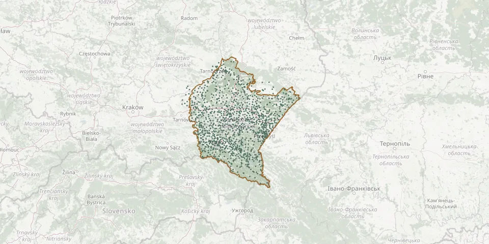 © OpenStreetMap
- Rybotycze Jewish CemeteryGPS coordinates: 49.65294° N, 22.65673° E
- Rybotycze New Municipal Cemetery (Former Ukrainian)GPS coordinates: 49.65868° N, 22.64259° E
- Rykszawy CemeteryGPS coordinates: 49.90558° N, 21.68175° E
- Rymanów Jewish CemeteryGPS coordinates: 49.57060° N, 21.86453° E
- Rymanów Soviet Prisoner-of-War Cemetery from World War IIGPS coordinates: 49.57077° N, 21.87931° E
- Ryszkowa Wola Greek Catholic CemeteryGPS coordinates: 50.06904° N, 22.86951° E
- Ryszkowa Wola New Roman Catholic CemeteryGPS coordinates: 50.06776° N, 22.86967° E
- Ryszkowa Wola War Cemetery (World War I)GPS coordinates: 50.07281° N, 22.83148° E
- Rzeczna Parish CemeteryGPS coordinates: 50.28254° N, 21.42427° E
- Rzeczyca Długa Parish CemeteryGPS coordinates: 50.64222° N, 22.06601° E
- Rzędzianowice Parish CemeteryGPS coordinates: 50.33594° N, 21.39207° E
- Rzeki Parish CemeteryGPS coordinates: 49.56434° N, 22.42210° E
- Rzepedź CemeteryGPS coordinates: 49.39000° N, 22.10504° E
- Rzepedź CemeteryGPS coordinates: 49.37598° N, 22.10916° E
- Rzepnik New Greek Catholic Cemetery (now Roman Catholic)GPS coordinates: 49.79303° N, 21.72589° E
- Rzeszów Burial GroundGPS coordinates: 50.00247° N, 22.02960° E
- Rzeszów CemeteryGPS coordinates: 49.99363° N, 22.02327° E
- Rzeszów Cholera Cemetery 1848-1849GPS coordinates: 50.02169° N, 22.05525° E
- Rzeszów Denominational Cemetery (now Roman Catholic)GPS coordinates: 50.00237° N, 22.02559° E
- Rzeszów Dominican Fathers' CemeteryGPS coordinates: 49.95512° N, 22.08345° E
- Rzeszów Mass GraveGPS coordinates: 50.13365° N, 21.97314° E
- Rzeszów Roman Catholic CemeteryGPS coordinates: 49.96838° N, 21.99121° E
- Rzeszów Roman Catholic CemeteryGPS coordinates: 50.07131° N, 21.98464° E
- Rzeszów Roman Catholic CemeteryGPS coordinates: 50.04147° N, 21.89720° E
- Rzeszów-Zwięczyca Municipal CemeteryGPS coordinates: 50.01727° N, 21.95566° E
- Rzochów Neighbourhood CemeteryGPS coordinates: 50.24718° N, 21.48550° E
- Salomin First World War CemeteryGPS coordinates: 50.81806° N, 22.06241° E
- Samoklęski Old Roman Catholic CemeteryGPS coordinates: 49.60846° N, 21.45779° E
- Samoklęski Roman Catholic CemeteryGPS coordinates: 49.60744° N, 21.46006° E
- Sandomierz Cathedral CemeteryGPS coordinates: 50.68465° N, 21.74384° E