
Subcarpathian Voivodeship
1,346 known cemeteries in Subcarpathian Voivodeship, Poland.
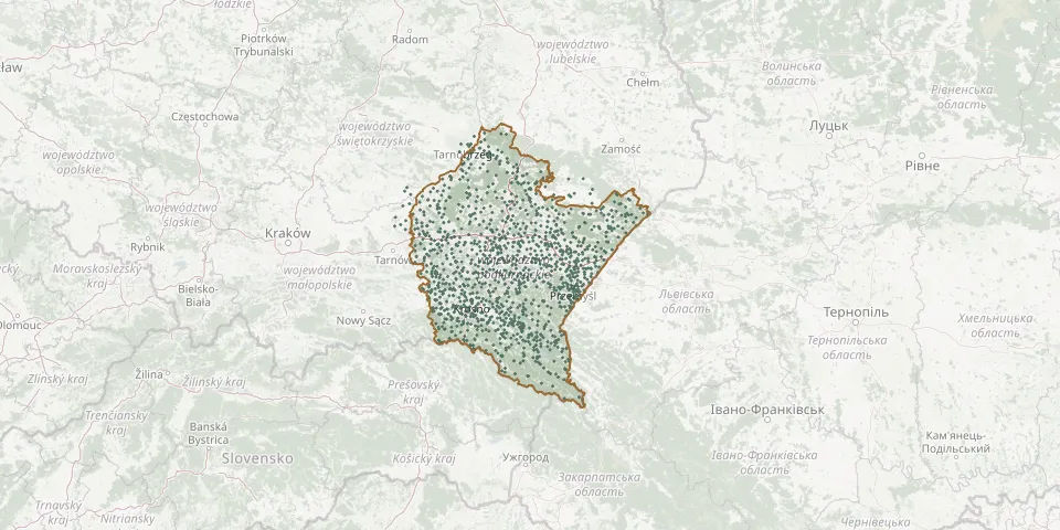 © OpenStreetMap
- Lutcza New CemeteryGPS coordinates: 49.80626° N, 21.90105° E
- Makowisko Roman Catholic CemeteryGPS coordinates: 50.04611° N, 22.81974° E
- Rymanów CemeteryGPS coordinates: 49.57397° N, 21.86403° E
- Zofiówka CemeteryGPS coordinates: 50.37293° N, 21.15755° E
- Cieszanów Parish CemeteryGPS coordinates: 50.24808° N, 23.12659° E
- Czarna Old Parish CemeteryGPS coordinates: 50.05885° N, 21.25556° E
- Domaradz CemeteryGPS coordinates: 49.79553° N, 21.94831° E
- Kuryłówka Parish CemeteryGPS coordinates: 50.29067° N, 22.47105° E
- Sanok Central Cemetery (Matejki Old)GPS coordinates: 49.56545° N, 22.19169° E
- Sarzyna Municipal CemeteryGPS coordinates: 50.35693° N, 22.33144° E
- Tuczempy Old CemeteryGPS coordinates: 49.97460° N, 22.74562° E
- Wilkowyja Municipal Cemetery, RzeszówGPS coordinates: 50.04474° N, 22.04214° E
- Adamówka World War I CemeteryGPS coordinates: 50.24535° N, 22.67687° E
- Aleksandrów CemeteryGPS coordinates: 50.47368° N, 22.87448° E
- Alfredówka Roman Catholic CemeteryGPS coordinates: 50.46483° N, 21.72807° E
- All Saints Parish Cemetery, KolbuszowaGPS coordinates: 50.24735° N, 21.77298° E
- Assumption of the Blessed Virgin Mary Parish Cemetery, ŚlęzakiGPS coordinates: 50.46820° N, 21.64501° E
- Babica Parish CemeteryGPS coordinates: 49.93840° N, 21.89116° E
- Babice Greek Catholic CemeteryGPS coordinates: 49.81670° N, 22.47510° E
- Babice Municipal CemeteryGPS coordinates: 49.81771° N, 22.48090° E
- Bachórzec Municipal CemeteryGPS coordinates: 49.82815° N, 22.32507° E
- Bachórz Roman Catholic CemeteryGPS coordinates: 49.83889° N, 22.27461° E
- Bączal Dolny Old CemeteryGPS coordinates: 49.76344° N, 21.36952° E
- Bączal Górny New CemeteryGPS coordinates: 49.76493° N, 21.36435° E
- Bączal War Cemetery No. 27GPS coordinates: 49.75301° N, 21.36083° E
- Bajdy Roman Catholic CemeteryGPS coordinates: 49.76238° N, 21.66896° E
- Baligród Jewish CemeteryGPS coordinates: 49.33779° N, 22.28338° E
- Baligród Parish CemeteryGPS coordinates: 49.34036° N, 22.28634° E
- Baligród Polish and Soviet War CemeteryGPS coordinates: 49.34491° N, 22.28894° E
- Bałucianka, Cerkiew Zaśnięcia Przeświętej BogarodzicyGPS coordinates: 49.53224° N, 21.80133° E