
Rhode Island
462 known cemeteries in Rhode Island, United States.
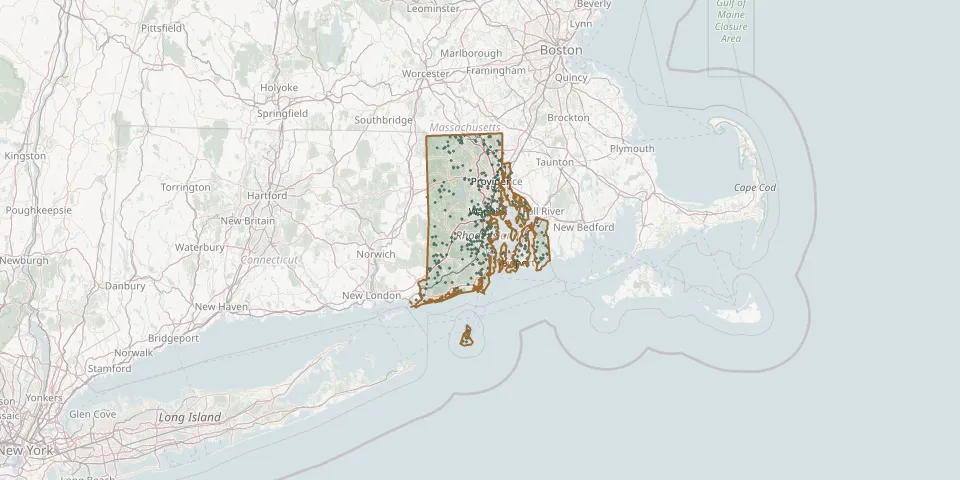 © OpenStreetMap
- Saint Mary's CemeteryGPS coordinates: 41.68589° N, 71.27251° W
- Saint Marys CemeteryGPS coordinates: 41.69371° N, 71.52089° W
- Saint Patrick CemeteryGPS coordinates: 41.83924° N, 71.42387° W
- Saint Patrick's CemeteryGPS coordinates: 41.96216° N, 71.69688° W
- Saint Patricks CemeteryGPS coordinates: 41.90816° N, 71.38978° W
- Saint Pauls CemeteryGPS coordinates: 41.60136° N, 71.24747° W
- Saint Pauls CemeteryGPS coordinates: 41.72250° N, 71.46916° W
- Saint Paul-Updike CemeteryGPS coordinates: 41.57304° N, 71.44942° W
- Saint Philips Episcopal CemeteryGPS coordinates: 41.68896° N, 71.52042° W
- Saint Sebastian CemeteryGPS coordinates: 41.36217° N, 71.83295° W
- Saints Peter and Paul CemeteryGPS coordinates: 41.71945° N, 71.53757° W
- Samuel S Whitford LotGPS coordinates: 41.59342° N, 71.52589° W
- Sand Hill CemeteryGPS coordinates: 41.78225° N, 71.72480° W
- Sands-Thompson CemeteryGPS coordinates: 41.20498° N, 71.56913° W
- Seaconnet CemeteryGPS coordinates: 41.49078° N, 71.18350° W
- Seekonk CemeteryGPS coordinates: 41.85893° N, 71.33005° W
- Sheffield CemeteryGPS coordinates: 41.21000° N, 71.57048° W
- Sherman Burial GroundGPS coordinates: 41.58149° N, 71.25229° W
- Sherman LotGPS coordinates: 41.54232° N, 71.60645° W
- Sherman LotGPS coordinates: 41.54538° N, 71.57173° W
- Shippee-Arnold LotGPS coordinates: 41.64640° N, 71.52157° W
- Shippee Burial YardGPS coordinates: 41.64677° N, 71.52145° W
- Silas Comstock LotGPS coordinates: 42.00344° N, 71.60904° W
- Sinai Memorial ParkGPS coordinates: 41.75422° N, 71.39880° W
- Slocum & Sweet LotGPS coordinates: 41.54449° N, 71.51915° W
- Small Maple Root CemeteryGPS coordinates: 41.66991° N, 71.60533° W
- Smith Aldrich LotGPS coordinates: 41.98474° N, 71.68296° W
- Smith CemeteryGPS coordinates: 41.58825° N, 71.46110° W
- Smithfield CemeteryGPS coordinates: 41.83497° N, 71.58812° W
- Smithfield Friends Meeting House, Parsonage and CemeteryGPS coordinates: 41.98917° N, 71.53028° W