
Rhode Island
462 known cemeteries in Rhode Island, United States.
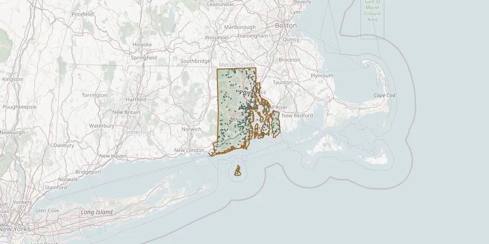 © OpenStreetMap
- Smith LotGPS coordinates: 41.52212° N, 71.72040° W
- South Burial GroundGPS coordinates: 41.72356° N, 71.27806° W
- Spears CemeteryGPS coordinates: 41.78862° N, 71.72865° W
- Spicer LotGPS coordinates: 41.46538° N, 71.77729° W
- Sprague Tefft LotGPS coordinates: 41.57514° N, 71.66062° W
- Springvale CemeteryGPS coordinates: 41.84445° N, 71.35162° W
- Stafford LotGPS coordinates: 41.72149° N, 71.37922° W
- State Farm CemeteryGPS coordinates: 41.75098° N, 71.45628° W
- State Institution Cemetery #2GPS coordinates: 41.73206° N, 71.45999° W
- Steere CemeteryGPS coordinates: 41.88144° N, 71.65047° W
- Stephen Browning LotGPS coordinates: 41.37394° N, 71.62322° W
- Stephen Cook CemeteryGPS coordinates: 41.64038° N, 71.18596° W
- Stephen Northup LotGPS coordinates: 41.49587° N, 71.45211° W
- St James CemeteryGPS coordinates: 41.97500° N, 71.48389° W
- St. Josephs CemeteryGPS coordinates: 41.48937° N, 71.31096° W
- Stone Castle LotGPS coordinates: 41.70121° N, 71.39394° W
- Stone PlotGPS coordinates: 41.80371° N, 71.71590° W
- St Patrick's CemeteryGPS coordinates: 41.65295° N, 71.45901° W
- St Stephens CemeteryGPS coordinates: 41.97337° N, 71.48330° W
- St Theresa's CemeteryGPS coordinates: 41.98051° N, 71.60418° W
- Sunderland LotGPS coordinates: 41.58085° N, 71.55737° W
- Swan Point CemeteryGPS coordinates: 41.85278° N, 71.38333° W
- Tew CemeteryGPS coordinates: 41.53148° N, 71.37572° W
- The Jewish Cemetery, NewportGPS coordinates: 41.48844° N, 71.30949° W
- Thomas Andrews CemeteryGPS coordinates: 41.73542° N, 71.47757° W
- Thomas Holden LotGPS coordinates: 41.69010° N, 71.38117° W
- Thomas Lewis LotGPS coordinates: 41.59288° N, 71.66173° W
- Thomas Rice LotGPS coordinates: 41.70260° N, 71.48089° W
- Thomas Taylor LotGPS coordinates: 41.69205° N, 71.45617° W
- Tillinghast LotGPS coordinates: 41.57816° N, 71.52200° W