
Cemetery #13913
Stoke Gifford (Saint Michael) Churchyard
Also known as St Michaels Church, Stoke Gifford
16
documented records
≈ 68–140
approx. capacity (graves)
3,380 m²
cemetery area
Oct 27, 2026
last modified
About this cemetery
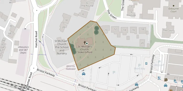
The churchyard surrounds the Church of England church of St Michael, the parish church of Stoke Gifford in Bristol. The church building originates from the fourteenth century and was built by the Berkeley family. A monument to Turner in the churchyard is a Grade II listed structure, and the churchyard is recorded by the Commonwealth War Graves Commission.
Cemetery location
GPS: GPS coordinates: 51.514999° N, 2.545200° W Directions in Google Maps (opens in a new tab)
Memorials
16 memorials, A–Z by last name.
 Henry Cusdin 1924 – 1990
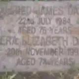 Alfred Dart 1908 – 1984
- Vera Dart ? – 1992
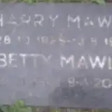 Betty Mawle 1926 – 2005
- Harry Mawle 1925 – 1992
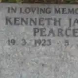 Kenneth Pearce 1923 – 2011
 Elizabeth Sparks 1899 – 1990
- Francis Sparks 1898 – 1994
- Lorna Sparks ? – 1950
- Philip Sparks 1923 – 2007
 Irene West 1928 – 1997
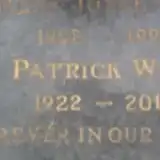
- Patrick West 1922 – 2010
 Jane Witchell ? – 1913
- Susan Witchell 1837 – 1922
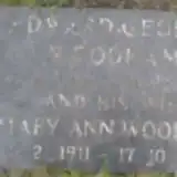 Edward Woodham 1900 – 1990
- Mary Woodham 1911 – 2007
Looking for someone who isn't listed? Request a photo.
Nearby cemeteries
The closest other burial grounds listed on EveryStone.
- Filton Cemetery 1.8 km away · Stoke Gifford · 11 records
- St Peter's Churchyard 2.0 km away · Filton
- Saint Michael's Churchyard 2.3 km away · Winterbourne
- St. John the Baptist Churchyard 2.8 km away · Winterbourne · 5 records
- Saint Mary's Churchyard 3.9 km away · Fishponds
- Fishponds Baptist Churchyard 4.0 km away · Fishponds · 6 records
- Downend Christ Churchyard 4.1 km away · Downend · 17 records
- Mangotsfield Cemetery 4.3 km away · Mangotsfield · 37 records
- Holy Trinity Churchyard 4.3 km away · Horfield · 4 records
- Ridgeway Park Cemetery 4.4 km away · Eastville
Contribute with the app
Our website works smoothly on both desktop and mobile devices. Prefer a native app? Check it out below.
- Capture clear headstone photos
- Save GPS grave locations automatically
- Transcribe inscriptions with our AI
- Suggest corrections to existing records
Common questions
How big is Stoke Gifford (Saint Michael) Churchyard?
Stoke Gifford (Saint Michael) Churchyard covers about 3,380 m² (0.8 acres), about half the size of a soccer field. It is the 169th smallest of the 385 cemeteries we list in Gloucestershire.
What is the oldest grave in this cemetery?
The oldest grave among the records we hold for Stoke Gifford (Saint Michael) Churchyard is that of Jane Witchell, who died on September 12, 1913.