
Cemetery #18018
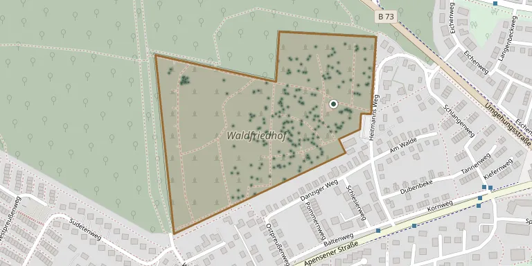
Buxtehude Woodland Cemetery
Local name: Waldfriedhof Buxtehude
392
documented records
≈ 2,300–4,600
approx. capacity (graves)
0.116 km²
cemetery area
Nov 5, 2026
last modified
About this cemetery
The Waldfriedhof was created in 1957 on the edge of the Neukloster Forst woodland and is run by the Städtische Friedhöfe Buxtehude. It is laid out like a park with old trees. The grounds provide habitat for animals and rare plants.
Cemetery location
GPS coordinates: 53.467701° N, 9.670400° E Directions in Google Maps (opens in a new tab)
Memorials
Showing the first 50 of 392, A–Z by surname. Search all records
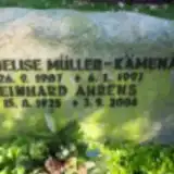 Reinhard Ahrens 1925 – 2006
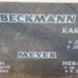 Karl-Heinz Beckmann 1928 – 2017
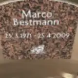 Marco Bestmann 1971 – 2009
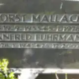 Manfred Fuhrmann 1941 – 2007
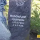 Rosemarie Gaffron 1935 – 2016
 Georg Gajowczyk 1911 – 1983
 Helmut Gebhardt 1919 – 2002
- Liesbeth Gebhardt 1923 – 2012
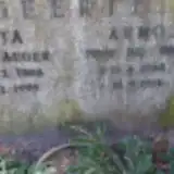 Arno Geertz 1908 – 1974
- Riga Geertz 1908 – 1994
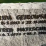 Frida Geikowski 1913 – 1990
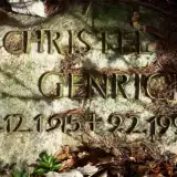 Christel Genrich 1915 – 1991
- Frida Gojomcsyt 1914 – 1995
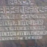 Berta Graffenberger 1888 – 1928
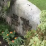 Elfriede Griebel 1923 – 2007
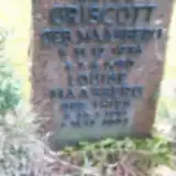 Luise Griscott 1934 – 1980
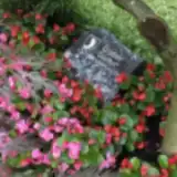 Gunther Gruber 1931 – 2011
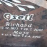 Maja Gsell 1928 – 2010
- Richard Gsell 1923 – 2001
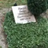 Helga Hecht 1940 – 2011
- Karl-Heinz Hecht 1937 – 2013
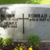 Konrad Heider 1927 – 2005
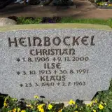 Christian Heinbockel 1906 – 2000
- Ilse Heinbockel 1913 – 1991
- Klaus Heinbockel 1940 – 1963
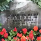 Anna Heins 1923 – 2014
- Johannes Heins 1922 – 1998
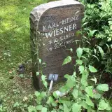 Karl Heinz Weisner 1930 – 1985
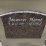 Johannes Henne 1925 – 2012
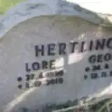 Georg Hertling 1908 – 1996
- Lore Hertling 1920 – 2010
 Horst Hilpert 1922 – 2003
- Karla Hilpert 1925 – 2001
- Ernst Hinke 1888 – 1973
- Hedwig Hinke 1894 – 1988
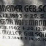 Erna Hoffmann 1902 – 1980
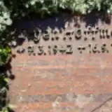 Jűrgen Hoffmann 1942 – 1998
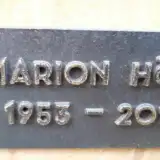 Marion Hött 1953 – 2018
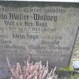 Klein Ingo 1926 – 1926
 Angohr-Hein Jan 1955 – 2008
- Herbert Jan 1926 – 2008
 Irmgard Jank 1921 – 2011
- Martin Jank 1910 – 2005
 Kurt Jenett 1923 – 1998
- Marga Jenett 1929 – 2001
 Peter Kaden 1937 – 2003
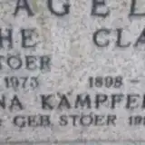 Anna Kampfert 1902 – 1994
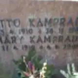 Mary Kamprad 1910 – 2005
- Otto Kamprad 1910 – 1980
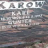 Günter Karow 1910 – 1995
Looking for someone who isn't listed? Request a photo.
Nearby cemeteries
The closest other burial grounds listed on EveryStone.
- Buxtehude Jewish Cemetery 860 m away · Buxtehude
- Stader Straße Old Cemetery, Buxtehude 880 m away · Buxtehude · 10 records
- Mühlenweg Old Cemetery, Buxtehude 1.1 km away · Buxtehude · 10 records
- St. Peter Cemetery, Ferdinandstraße, Buxtehude 1.4 km away · Buxtehude · 444 records
- Ottensen Woodland Cemetery 1.9 km away · Buxtehude · 16 records
- FriedWald Buxtehude 2.2 km away · Buxtehude · 10 records
- Buxtehude War Cemetery 2.8 km away · Buxtehude · 2 records
- St. Marien Neukloster New Cemetery 3.3 km away · Buxtehude · 44 records
- St. Marien Neukloster Old Cemetery 3.3 km away · Buxtehude · 74 records
- Immenbeck Cemetery (Buxtehude) 4.4 km away · Buxtehude · 39 records
Contribute with the app
Our website works smoothly on both desktop and mobile devices. Prefer a native app? Check it out below.
- Capture clear headstone photos
- Save GPS grave locations automatically
- Transcribe inscriptions with our AI
- Suggest corrections to existing records
Common questions
How big is Buxtehude Woodland Cemetery?
Buxtehude Woodland Cemetery covers about 11.6 hectares (116,000 m²), about the size of 16 soccer fields. It is the 55th largest of the 3,526 cemeteries we list in Lower Saxony.
What is the oldest grave in this cemetery?
The oldest grave among the records we hold for Buxtehude Woodland Cemetery is that of Klein Ingo, who died on June 5, 1926 at the age of 0.