
Cemetery #187070
Stader Straße Old Cemetery, Buxtehude
Local name: Alter Friedhof Stader Straße Buxtehude
10
documented records
≈ 140–280
approx. capacity (graves)
6,990 m²
cemetery area
Nov 5, 2026
last modified
About this cemetery
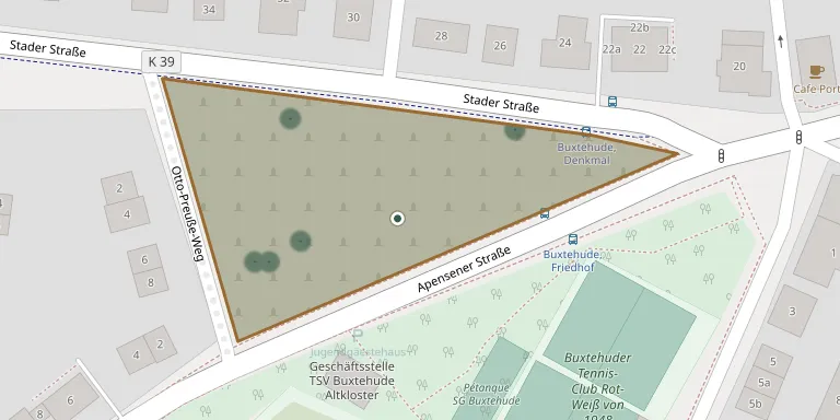
The old cemetery on Stader Straße was laid out in 1853, after burials at the Altkloster cemetery ended, and served as the central burial ground for Altkloster. No burials have taken place there for decades. It contains a war graves site for dead of the Second World War and the Nazi period.
Cemetery location
GPS: GPS coordinates: 53.468579° N, 9.683560° E Directions in Google Maps (opens in a new tab)
Memorials
10 memorials, A–Z by surname.
 Arno Große 1878 – 1966
- Sophie Große 1877 – 1959
 Otto Klapproth 1890 – 1946
 Anna Kunkel 1854 – 1929
- Hermann Kunkel 1872 – 1942
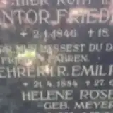 Friedrich Meyer 1846 – 1934
- Emil Röseler 1884 – 1953
- Helene Röseler 1888 – 1963
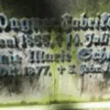 Eugenie Schmidt 1877 – 1957
- Johannes Wagner 1855 – 1938
Looking for someone who isn't listed? Request a photo.
Nearby cemeteries
The closest other burial grounds listed on EveryStone.
- St. Peter Cemetery, Ferdinandstraße, Buxtehude 490 m away · Buxtehude · 444 records
- Mühlenweg Old Cemetery, Buxtehude 590 m away · Buxtehude · 10 records
- Buxtehude Woodland Cemetery 880 m away · Buxtehude · 392 records
- Buxtehude Jewish Cemetery 1.6 km away · Buxtehude
- Ottensen Woodland Cemetery 2.2 km away · Buxtehude · 16 records
- FriedWald Buxtehude 2.9 km away · Buxtehude · 10 records
- Buxtehude War Cemetery 3.6 km away · Buxtehude · 2 records
- Immenbeck Cemetery (Buxtehude) 3.7 km away · Buxtehude · 39 records
- St. Marien Neukloster New Cemetery 4.0 km away · Buxtehude · 44 records
- St. Marien Neukloster Old Cemetery 4.0 km away · Buxtehude · 74 records
Contribute with the app
Our website works smoothly on both desktop and mobile devices. Prefer a native app? Check it out below.
- Capture clear headstone photos
- Save GPS grave locations automatically
- Transcribe inscriptions with our AI
- Suggest corrections to existing records
Common questions
How big is Stader Straße Old Cemetery, Buxtehude?
Stader Straße Old Cemetery, Buxtehude covers about 6,990 m² (1.7 acres), about the size of a soccer field. It is the 1,481st largest of the 3,526 cemeteries we list in Lower Saxony.
What is the oldest grave in this cemetery?
The oldest grave among the records we hold for Stader Straße Old Cemetery, Buxtehude is that of Anna Kunkel, who died on March 5, 1929 at the age of 74.