
10
documented records
≈ 16k–32k
approx. capacity (graves)
0.790 km²
cemetery area
Nov 5, 2026
last modified
About this cemetery
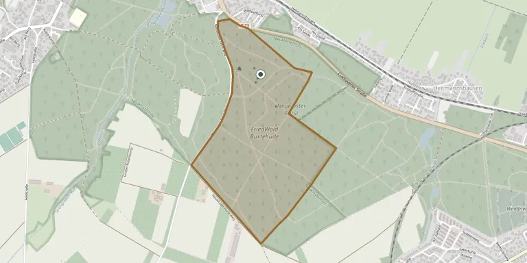
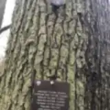
FriedWald Buxtehude is a forest cemetery on Wilhelm-Cohrs-Weg in Buxtehude, in the Stade district of Lower Saxony. It lies in a broadleaf-rich woodland on the Stade Geest, and burials there take place in urns.
Cemetery location
GPS coordinates: 53.475537° N, 9.640598° E Directions in Google Maps (opens in a new tab)
Memorials
10 memorials, A–Z by surname.
 Heidi Ahrweiler 1947 – 2015
 Gertrus Altmann 1927 – 2017
 Klaus Baumann 1934 – 2015
- Udo Clever 1941 – 2015
 Ingeborn Hill 1928 – 2013
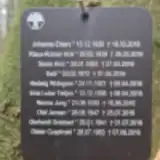 Norma Jung 1935 – 2016
- Steffan Krieger 1972 – 2015
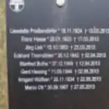 Jörg Link 1953 – 2013
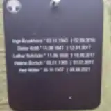 Axel Müller 1957 – 2021
- Moni Müller 1948 – 2018
Looking for someone who isn't listed? Request a photo.
Nearby cemeteries
The closest other burial grounds listed on EveryStone.
- Buxtehude War Cemetery 660 m away · Buxtehude · 2 records
- St. Marien Neukloster New Cemetery 1.2 km away · Buxtehude · 44 records
- St. Marien Neukloster Old Cemetery 1.2 km away · Buxtehude · 74 records
- Buxtehude Jewish Cemetery 1.3 km away · Buxtehude
- Buxtehude Woodland Cemetery 2.2 km away · Buxtehude · 392 records
- Nottensdorf Woodland Cemetery 2.3 km away · Nottensdorf
- Stader Straße Old Cemetery, Buxtehude 2.9 km away · Buxtehude · 10 records
- Nottensdorf Cemetery 3.0 km away · Nottensdorf · 10 records
- Grundoldendorf Cemetery 3.1 km away · Grundoldendorf · 4 records
- Mühlenweg Old Cemetery, Buxtehude 3.3 km away · Buxtehude · 10 records
Contribute with the app
Our website works smoothly on both desktop and mobile devices. Prefer a native app? Check it out below.
- Capture clear headstone photos
- Save GPS grave locations automatically
- Transcribe inscriptions with our AI
- Suggest corrections to existing records
Common questions
How big is FriedWald Buxtehude?
FriedWald Buxtehude covers about 79 hectares (790,000 m²), a little larger than Mount Auburn Cemetery in Cambridge, Massachusetts. It is the largest of the 3,526 cemeteries we list in Lower Saxony.
What is the oldest grave in this cemetery?
The oldest grave among the records we hold for FriedWald Buxtehude is that of Jörg Link, who died on March 23, 2013 at the age of 59.