
Cemetery #20898
Colne Valley Military Cemetery
Also known as Colne Valley CWGC Cemetery · Colne Valley Cemetery
0
documented records
≈ 8–16
approx. capacity (graves)
400 m²
cemetery area
Oct 18, 2026
last modified
About this cemetery
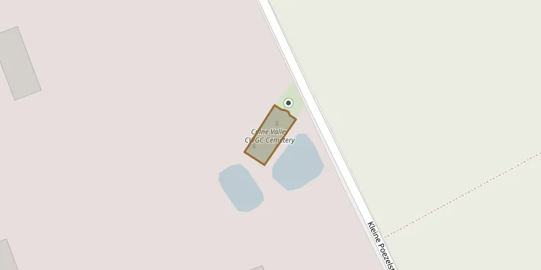
Colne Valley Cemetery lies a little south of Caesar's Nose near Boezinge, Ypres. It was begun by Territorial battalions of the West Riding Regiment (49th Division) in July and August 1915 and used until February 1916. By July 1917 the site had become part of no man's land, before it was recaptured during the Battle of Pilckem Ridge. The cemetery can be found online through cwgc.org.
Cemetery location
GPS: 50.885349° N, 2.878210° E Directions in Google Maps (opens in a new tab)
Memorials
No records yet
Photograph a headstone and add it to the archive.
Looking for someone who isn't listed? Request a photo.
Nearby cemeteries
The closest other burial grounds listed on EveryStone.
- Welsh Cemetery Caesar's Nose 300 m away · Ieper
- No Man's Cot Military Cemetery 1.1 km away · Ieper
- Talana Farm Cemetery 1.2 km away · Ieper
- Dragoon Camp Cemetery 1.2 km away · Ieper
- Bard Cottage Cemetery 1.2 km away · Ieper
- Artillery Wood Cemetery 1.6 km away · Boezinge
- Essex Farm Cemetery 1.6 km away · Ieper
- Divisional Collecting Post Cemetery & Extension 1.7 km away · Ieper
- La Belle Alliance Cemetery 1.7 km away · Ieper
- New Irish Farm Cemetery 1.9 km away · Ieper
Contribute with the app
Our website works smoothly on both desktop and mobile devices. Prefer a native app? Check it out below.
- Capture clear headstone photos
- Save GPS grave locations automatically
- Transcribe inscriptions with our AI
- Suggest corrections to existing records
Common questions
How big is Colne Valley Military Cemetery?
Colne Valley Military Cemetery covers about 400 m², about the size of 2 tennis courts. It is the 36th smallest of the 503 cemeteries we list in West Flanders.