
Cemetery #21335
New Irish Farm Cemetery
Also known as New Irish Farm Commonwealth War Graves Commission Cemetery
0
documented records
≈ 310–620
approx. capacity (graves)
0.015 km²
cemetery area
Oct 18, 2026
last modified
About this cemetery
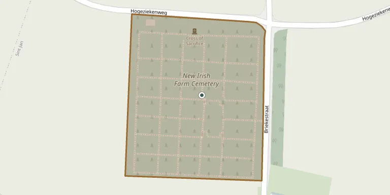
New Irish Farm Cemetery is a Commonwealth War Graves Commission burial ground near Ypres in Belgium. It began with just 73 burials, the three irregular rows of Plot I, and was greatly enlarged after the Armistice when more than 4,500 graves were brought in from the battlefields. It now holds 4,752 First World War burials and commemorations, and the land was assigned to the United Kingdom in perpetuity by King Albert I of Belgium. Visitors can read more on cwgc.org.
Cemetery location
GPS: GPS coordinates: 50.873070° N, 2.897610° E Directions in Google Maps (opens in a new tab)
Memorials
No records yet
Photograph a headstone and add it to the archive.
Looking for someone who isn't listed? Request a photo.
Nearby cemeteries
The closest other burial grounds listed on EveryStone.
- Divisional Collecting Post Cemetery & Extension 290 m away · Ieper
- La Belle Alliance Cemetery 290 m away · Ieper
- La Brique Military Cemetery #02 930 m away · Ieper
- La Brique Military Cemetery #01 970 m away · Ieper
- Sint-Jan Churchyard 1.0 km away · Ieper
- Wieltje Farm Cemetery 1.0 km away · Ieper
- Track X Cemetery 1.1 km away · Ieper
- No Man's Cot Military Cemetery 1.2 km away · Ieper
- White House Cemetery 1.2 km away · Ieper
- Buffs Road Cemetery 1.4 km away · Ieper
Contribute with the app
Our website works smoothly on both desktop and mobile devices. Prefer a native app? Check it out below.
- Capture clear headstone photos
- Save GPS grave locations automatically
- Transcribe inscriptions with our AI
- Suggest corrections to existing records
Common questions
How big is New Irish Farm Cemetery?
New Irish Farm Cemetery covers about 15,000 m² (3.8 acres), about the size of 2 soccer fields. It is the 70th largest of the 503 cemeteries we list in West Flanders.