
Brandenburg
2,113 known cemeteries in Brandenburg, Germany.
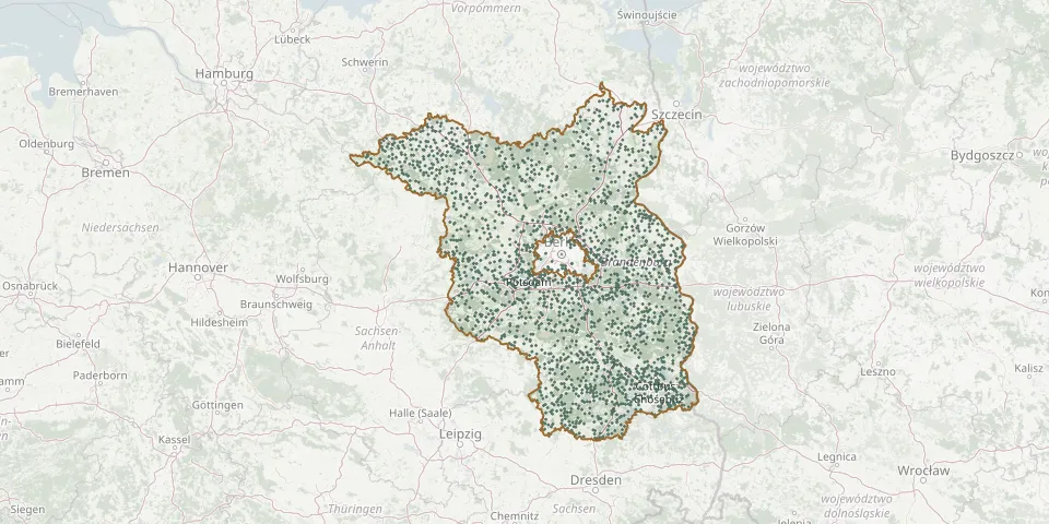 © OpenStreetMap
- Kerkwitz CemeteryGPS coordinates: 51.91409° N, 14.65274° E
- Kerstenbruch CemeteryGPS coordinates: 52.74007° N, 14.26051° E
- Ketzür CemeteryGPS coordinates: 52.49590° N, 12.63143° E
- Keune CemeteryGPS coordinates: 51.71817° N, 14.65745° E
- Kiekebusch CemeteryGPS coordinates: 52.34566° N, 13.55094° E
- Kiekebusch Old CemeteryGPS coordinates: 51.72435° N, 14.35911° E
- Kienbaum Cemetery, Herzfelde RehfeldeGPS coordinates: 52.45650° N, 13.95638° E
- Kienberg CemeteryGPS coordinates: 52.66335° N, 12.90471° E
- Kienitz CemeteryGPS coordinates: 52.66964° N, 14.43059° E
- Kieselwitz CemeteryGPS coordinates: 52.11276° N, 14.50102° E
- Kietz CemeteryGPS coordinates: 53.07120° N, 11.33227° E
- Kietzer CemeteryGPS coordinates: 52.17014° N, 14.26272° E
- Kietzer Old CemeteryGPS coordinates: 52.56965° N, 14.61833° E
- Kietz Modderort CemeteryGPS coordinates: 53.26374° N, 13.89929° E
- Kietz Soviet Cemetery of HonourGPS coordinates: 52.56658° N, 14.60627° E
- Kirche FreudenbergGPS coordinates: 52.69900° N, 13.81590° E
- Kirchengemeinde Saint Marien CemeteryGPS coordinates: 52.57026° N, 13.87402° E
- Kirche SchulzendorfGPS coordinates: 52.68750° N, 14.09870° E
- Kirchhain CemeteryGPS coordinates: 51.64069° N, 13.55999° E
- Kirchhofen CemeteryGPS coordinates: 52.36416° N, 13.87583° E
- Kirchmöser East CemeteryGPS coordinates: 52.38409° N, 12.42841° E
- Kittlitz CemeteryGPS coordinates: 51.82602° N, 13.91098° E
- Klandorf CemeteryGPS coordinates: 52.87312° N, 13.56856° E
- Klausdorf CemeteryGPS coordinates: 52.15252° N, 13.40671° E
- Klausdorf CemeteryGPS coordinates: 52.04842° N, 12.94361° E
- Klaushagen CemeteryGPS coordinates: 53.23020° N, 13.58078° E
- Kleinbahren CemeteryGPS coordinates: 51.70771° N, 13.72780° E
- Kleinbarnim CemeteryGPS coordinates: 52.68352° N, 14.27132° E
- Kleinbeeren CemeteryGPS coordinates: 52.36126° N, 13.32495° E
- Kleinbesten South CemeteryGPS coordinates: 52.23080° N, 13.62829° E