
Saxony
1,500 known cemeteries in Saxony, Germany.
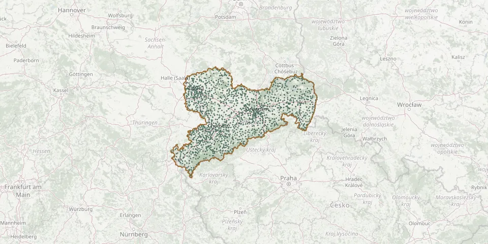 © OpenStreetMap
- Skäßchen CemeteryGPS coordinates: 51.33967° N, 13.58539° E
- Skerbersdorf CemeteryGPS coordinates: 51.49958° N, 14.81801° E
- Sohl CemeteryGPS coordinates: 50.27483° N, 12.27556° E
- Sommerfeld CemeteryGPS coordinates: 51.34951° N, 12.49384° E
- Somsdorf New CemeteryGPS coordinates: 50.97687° N, 13.60329° E
- Somsdorf Old CemeteryGPS coordinates: 50.97779° N, 13.60309° E
- Sora CemeteryGPS coordinates: 51.08030° N, 13.49940° E
- Sörnewitz CemeteryGPS coordinates: 51.37239° N, 13.09984° E
- Sörnewitz Cemetery / Brockwitz Lower CemeteryGPS coordinates: 51.13456° N, 13.53529° E
- Sornzig CemeteryGPS coordinates: 51.21320° N, 13.01550° E
- Sosa CemeteryGPS coordinates: 50.49776° N, 12.65360° E
- Spansberg CemeteryGPS coordinates: 51.41808° N, 13.39244° E
- Spitzhausstraße CemeteryGPS coordinates: 51.08706° N, 13.67437° E
- Spitzkunnersdorf CemeteryGPS coordinates: 50.93682° N, 14.67903° E
- Spohla CemeteryGPS coordinates: 51.40551° N, 14.27613° E
- Spree CemeteryGPS coordinates: 51.34870° N, 14.87771° E
- Spreetal-Burghammer CemeteryGPS coordinates: 51.48117° N, 14.36439° E
- Spreewitz CemeteryGPS coordinates: 51.50826° N, 14.39829° E
- Sprey CemeteryGPS coordinates: 51.42604° N, 14.53777° E
- Sprotta Evangelical CemeteryGPS coordinates: 51.48870° N, 12.69890° E
- St. Afra Cemetery, MeißenGPS coordinates: 51.16424° N, 13.46839° E
- St. Andrew Cemetery, ChemnitzGPS coordinates: 50.82684° N, 12.95382° E
- Stangengrün CemeteryGPS coordinates: 50.58620° N, 12.44898° E
- Staucha CemeteryGPS coordinates: 51.22277° N, 13.22204° E
- Staupitz ChurchyardGPS coordinates: 51.49207° N, 12.95515° E
- St.BartholomäusGPS coordinates: 50.87313° N, 12.59904° E
- St. ChristophoriGPS coordinates: 50.80349° N, 12.70184° E
- St. Egidien CemeteryGPS coordinates: 50.78867° N, 12.61206° E
- Stehla CemeteryGPS coordinates: 51.49359° N, 13.18441° E
- Steinbach CemeteryGPS coordinates: 51.41744° N, 14.95363° E