
Groningen
293 known cemeteries in Groningen, Netherlands.
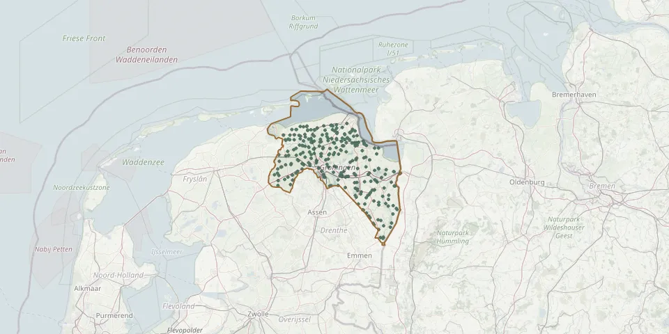 © OpenStreetMap
- Hervormde Kerk FarmsumGPS coordinates: 53.32360° N, 6.92869° E
- Holwierde General CemeteryGPS coordinates: 53.35842° N, 6.87448° E
- Hoogezand Dutch Reformed CemeteryGPS coordinates: 53.16425° N, 6.75399° E
- Hoogezand Jewish CemeteryGPS coordinates: 53.17203° N, 6.75345° E
- Hoogkerk CemeteryGPS coordinates: 53.22416° N, 6.50005° E
- Hoogkerk Cemetery (old)GPS coordinates: 53.21796° N, 6.50141° E
- Hornhuizen CemeteryGPS coordinates: 53.38690° N, 6.35920° E
- Houwerzijl CemeteryGPS coordinates: 53.33885° N, 6.34302° E
- Huizinge General CemeteryGPS coordinates: 53.34277° N, 6.67464° E
- Jacobuskerk CemeteryGPS coordinates: 53.34620° N, 6.75700° E
- Johannes de Doperkerk CemeteryGPS coordinates: 53.34520° N, 6.67320° E
- Kantens General CemeteryGPS coordinates: 53.36626° N, 6.63338° E
- Kerk GarnwerdGPS coordinates: 53.30470° N, 6.49080° E
- Kerkhofstraat Cemetery, Bad NieuweschansGPS coordinates: 53.17806° N, 7.20950° E
- Kerk NoordbroekGPS coordinates: 53.20296° N, 6.87666° E
- Kerk van NoorddijkGPS coordinates: 53.24420° N, 6.62790° E
- Kerk van TolbertGPS coordinates: 53.17250° N, 6.36150° E
- Kiel-Windeweer Dutch Reformed CemeteryGPS coordinates: 53.11240° N, 6.78090° E
- Klein Selwerderhof Emergency Cemetery 1, GroningenGPS coordinates: 53.23932° N, 6.55494° E
- Klein Selwerderhof Emergency Cemetery 2, GroningenGPS coordinates: 53.24115° N, 6.55378° E
- Klein Wetsinge New CemeteryGPS coordinates: 53.29822° N, 6.53633° E
- Kloosterburen Roman Catholic CemeteryGPS coordinates: 53.38670° N, 6.39570° E
- KloosterkerkGPS coordinates: 53.26783° N, 6.64979° E
- Knijpslaan General CemeteryGPS coordinates: 53.16682° N, 6.75497° E
- Kolham General CemeteryGPS coordinates: 53.18191° N, 6.74762° E
- Kommerzijl General CemeteryGPS coordinates: 53.28400° N, 6.32570° E
- Kopstukken Roman Catholic CemeteryGPS coordinates: 52.95628° N, 7.06068° E
- Kornhorn CemeteryGPS coordinates: 53.18100° N, 6.24610° E
- Krewerd CemeteryGPS coordinates: 53.35493° N, 6.84662° E
- Kropswolde Protestant ChurchyardGPS coordinates: 53.14848° N, 6.72369° E