
Møre og Romsdal
156 known cemeteries in Møre og Romsdal, Norway.
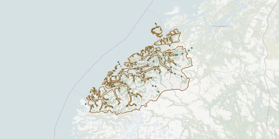 © OpenStreetMap
- Aukra ChurchyardGPS coordinates: 62.79081° N, 6.91676° E
- Aunvågen CemeteryGPS coordinates: 63.44972° N, 7.99353° E
- Aure CemeteryGPS coordinates: 63.26577° N, 8.52814° E
- Austefjord CemeteryGPS coordinates: 62.06165° N, 6.32528° E
- Batnfjord gravstedGPS coordinates: 62.88567° N, 7.66536° E
- Brattvaag CemeteryGPS coordinates: 62.60219° N, 6.43976° E
- Dyrnes gamle gravstedGPS coordinates: 63.42078° N, 7.86265° E
- Edøy ChurchyardGPS coordinates: 63.28558° N, 8.13011° E
- Eide CemeteryGPS coordinates: 62.91634° N, 7.44458° E
- Eidsbygda CemeteryGPS coordinates: 62.58963° N, 7.49740° E
- Eidsnes CemeteryGPS coordinates: 62.42834° N, 6.30054° E
- Eidsvåg CemeteryGPS coordinates: 62.77779° N, 8.06988° E
- Eresfjord CemeteryGPS coordinates: 62.66594° N, 8.11291° E
- Ersnes CemeteryGPS coordinates: 63.37009° N, 7.84243° E
- Fiksdalen CemeteryGPS coordinates: 62.61625° N, 6.85980° E
- Fiskå gravstedGPS coordinates: 62.09944° N, 5.57111° E
- Fjørtoft CemeteryGPS coordinates: 62.70632° N, 6.37480° E
- Flatmark CemeteryGPS coordinates: 62.43104° N, 7.95428° E
- Flemma gravstedGPS coordinates: 62.93198° N, 8.08116° E
- Flusund CemeteryGPS coordinates: 62.34270° N, 5.67167° E
- Foldfjorden CemeteryGPS coordinates: 63.24181° N, 8.39658° E
- Folkestad CemeteryGPS coordinates: 62.12024° N, 6.02891° E
- Gaustad CemeteryGPS coordinates: 62.98386° N, 7.30516° E
- Gjelberg CemeteryGPS coordinates: 63.37317° N, 7.83871° E
- Gjerdsvika CemeteryGPS coordinates: 62.25567° N, 5.58720° E
- Godøy CemeteryGPS coordinates: 62.48099° N, 6.04160° E
- Grytten ChurchyardGPS coordinates: 62.55260° N, 7.67253° E
- Gullstein ChurchyardGPS coordinates: 63.20570° N, 8.15296° E
- Gursken CemeteryGPS coordinates: 62.22986° N, 5.61961° E
- Hamnsund CemeteryGPS coordinates: 62.53142° N, 6.26728° E