
Møre og Romsdal
156 known cemeteries in Møre og Romsdal, Norway.
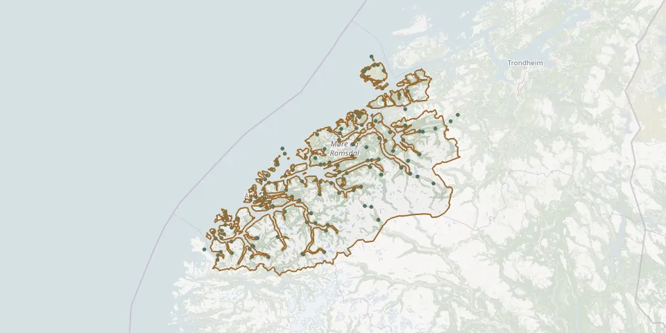 © OpenStreetMap
- Moa urnelundGPS coordinates: 62.46738° N, 6.34640° E
- Mo Church and CemeteryGPS coordinates: 62.99996° N, 8.96776° E
- Molde Lower ChurchyardGPS coordinates: 62.73844° N, 7.15495° E
- Molde Upper CemeteryGPS coordinates: 62.73921° N, 7.15335° E
- Moltu CemeteryGPS coordinates: 62.29861° N, 5.64361° E
- Myklebostad CemeteryGPS coordinates: 62.72070° N, 7.93616° E
- Myklebust KapellGPS coordinates: 62.73887° N, 6.47042° E
- Myrbostad ChurchyardGPS coordinates: 62.85237° N, 7.21494° E
- Nørve ChurchyardGPS coordinates: 62.47190° N, 6.22900° E
- Ødegård ChurchyardGPS coordinates: 62.31661° N, 6.93466° E
- Ødegård New Cemetery, TrettnesGPS coordinates: 63.33519° N, 8.06253° E
- Ødegård Old Cemetery, TrettnesGPS coordinates: 63.33322° N, 8.06762° E
- Øksendal CemeteryGPS coordinates: 62.71660° N, 8.43102° E
- Øre CemeteryGPS coordinates: 62.92000° N, 7.75420° E
- Ørskog ChurchyardGPS coordinates: 62.47870° N, 6.81347° E
- Osnes CemeteryGPS coordinates: 62.34457° N, 5.82772° E
- Otnes CemeteryGPS coordinates: 63.13782° N, 8.49081° E
- Øverdalen GravstedGPS coordinates: 62.33565° N, 8.06830° E
- Øvre Rindal CemeteryGPS coordinates: 63.09773° N, 9.32228° E
- Øye Church and CemeteryGPS coordinates: 62.98065° N, 8.71864° E
- Råket Old Cemetery, SkarpnesetGPS coordinates: 63.40630° N, 7.84039° E
- Remøy CemeteryGPS coordinates: 62.36183° N, 5.64630° E
- Rindal KirkeGPS coordinates: 63.05169° N, 9.20976° E
- Røbekk CemeteryGPS coordinates: 62.75536° N, 7.29495° E
- Røbekk CemeteryGPS coordinates: 62.75332° N, 7.29274° E
- Rød Cemetery, RødGPS coordinates: 62.77227° N, 7.95985° E
- Rokstad CemeteryGPS coordinates: 63.41273° N, 8.15042° E
- Romfo Kirke CemeteryGPS coordinates: 62.60241° N, 8.93861° E
- Rovde ChurchyardGPS coordinates: 62.17606° N, 5.73987° E
- Røvika CemeteryGPS coordinates: 62.73209° N, 7.42412° E