
Rogaland
119 known cemeteries in Rogaland, Norway.
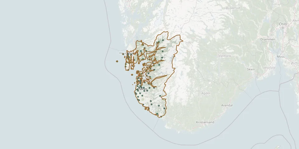 © OpenStreetMap
- Tjensvoll CemeteryGPS coordinates: 58.95345° N, 5.70944° E
- Lagard CemeteryGPS coordinates: 58.96400° N, 5.73820° E
- Hetland CemeteryGPS coordinates: 58.96790° N, 5.74120° E
- Utstein Abbey ChurchyardGPS coordinates: 59.10329° N, 5.59170° E
- Askje KirkeGPS coordinates: 59.06368° N, 5.68677° E
- Udland ChurchyardGPS coordinates: 59.43840° N, 5.27180° E
- Askje Lower ChurchyardGPS coordinates: 59.06487° N, 5.68985° E
- Aardal Gamle KyrkjeGPS coordinates: 59.15752° N, 6.19957° E
- Åkra ChurchyardGPS coordinates: 59.25767° N, 5.19448° E
- Ålgård ChurchyardGPS coordinates: 58.76932° N, 5.84473° E
- Ana Sira Church CemeteryGPS coordinates: 58.29340° N, 6.44210° E
- Årdal ChurchyardGPS coordinates: 59.15572° N, 6.19115° E
- Årstad kyrkjegardGPS coordinates: 58.44550° N, 6.00410° E
- Avaldsnes ChurchyardGPS coordinates: 59.35647° N, 5.29120° E
- Avaldsnes New CemeteryGPS coordinates: 59.35279° N, 5.28614° E
- Bjergøy CemeteryGPS coordinates: 59.26563° N, 5.85801° E
- Bjerkreim CemeteryGPS coordinates: 58.58374° N, 6.07682° E
- Bokn CemeteryGPS coordinates: 59.22389° N, 5.44062° E
- Bore Church CemeteryGPS coordinates: 58.79479° N, 5.59899° E
- Christine Elisabeths CemeteryGPS coordinates: 59.41853° N, 5.26567° E
- Dirdal CemeteryGPS coordinates: 58.82736° N, 6.19022° E
- East Åmøy CemeteryGPS coordinates: 59.03837° N, 5.75676° E
- Egersund ChurchyardGPS coordinates: 58.44596° N, 6.00415° E
- Eiganes CemeteryGPS coordinates: 58.96740° N, 5.71890° E
- Eikedal CemeteryGPS coordinates: 58.34500° N, 6.31087° E
- Erfjord ChurchyardGPS coordinates: 59.34748° N, 6.23975° E
- Falnes ChurchyardGPS coordinates: 59.15188° N, 5.28113° E
- Ferkingstad CemeteryGPS coordinates: 59.21286° N, 5.18732° E
- Fister Church CemeteryGPS coordinates: 59.17569° N, 6.06211° E
- Fogn CemeteryGPS coordinates: 59.14652° N, 5.91240° E