
Rogaland
119 known cemeteries in Rogaland, Norway.
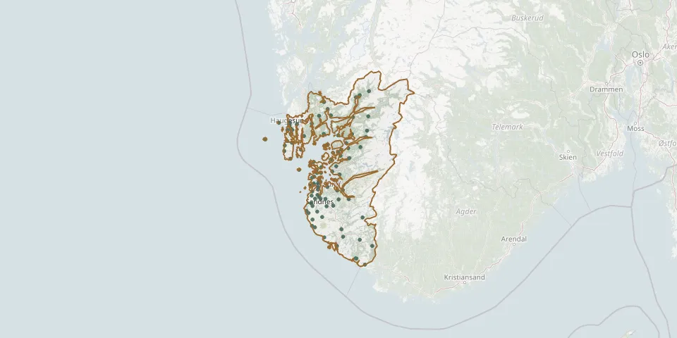 © OpenStreetMap
- Kopervik KirkeGPS coordinates: 59.28170° N, 5.30299° E
- Krossmoen CemeteryGPS coordinates: 58.52178° N, 6.09972° E
- Kvitsøy ChurchyardGPS coordinates: 59.06378° N, 5.41636° E
- Langeland CemeteryGPS coordinates: 59.02622° N, 6.04068° E
- Lund Churchyard, MoiGPS coordinates: 58.44775° N, 6.55351° E
- Nærbø CemeteryGPS coordinates: 58.66157° N, 5.62360° E
- Nedstrand CemeteryGPS coordinates: 59.35009° N, 5.80249° E
- Nedstrand VestreGPS coordinates: 59.34871° N, 5.80008° E
- Nordre Hauge CemeteryGPS coordinates: 59.42077° N, 5.25938° E
- Nordvik CemeteryGPS coordinates: 59.30947° N, 4.88292° E
- Norheim CemeteryGPS coordinates: 59.37914° N, 5.30021° E
- Norheim ChurchyardGPS coordinates: 59.38115° N, 5.30928° E
- Odland CemeteryGPS coordinates: 58.59802° N, 5.66242° E
- Ogna CemeteryGPS coordinates: 58.51690° N, 5.80852° E
- Old cemetery in SørbøGPS coordinates: 59.12780° N, 5.64400° E
- Ølen CemeteryGPS coordinates: 59.60269° N, 5.80460° E
- Oltedal CemeteryGPS coordinates: 58.82535° N, 6.02979° E
- Orre CemeteryGPS coordinates: 58.71547° N, 5.56406° E
- Orre CemeteryGPS coordinates: 58.73122° N, 5.52907° E
- Østhusvik ChurchyardGPS coordinates: 59.08595° N, 5.76508° E
- Øye CemeteryGPS coordinates: 59.22525° N, 6.07304° E
- Raege kirkeGPS coordinates: 58.85535° N, 5.60932° E
- Randaberg Church CemeteryGPS coordinates: 58.99977° N, 5.61891° E
- Revheim CemeteryGPS coordinates: 58.95300° N, 5.64400° E
- Røvær Cemetery, RøværGPS coordinates: 59.43850° N, 5.10090° E
- Sandanger CemeteryGPS coordinates: 59.20408° N, 6.02428° E
- Sand CemeteryGPS coordinates: 59.48259° N, 6.25516° E
- Sandeid ChurchyardGPS coordinates: 59.54657° N, 5.85799° E
- Sandnes Gamle CemeteryGPS coordinates: 58.84501° N, 5.72737° E
- Sandnes Nye CemeteryGPS coordinates: 58.84857° N, 5.72827° E