
Rogaland
119 known cemeteries in Rogaland, Norway.
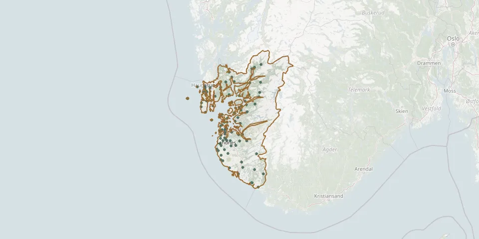 © OpenStreetMap
- Førland CemeteryGPS coordinates: 59.02581° N, 6.04517° E
- Førre CemeteryGPS coordinates: 59.42765° N, 5.38499° E
- Førre ChurchyardGPS coordinates: 59.42457° N, 5.38099° E
- Forsand CemeteryGPS coordinates: 58.90120° N, 6.09830° E
- Frøyland CemeteryGPS coordinates: 58.34340° N, 6.30730° E
- Gamle Prestegårdsvei Cemetery, EgersundGPS coordinates: 58.44889° N, 6.00093° E
- Gand CemeteryGPS coordinates: 58.84503° N, 5.72696° E
- Gjesdal CemeteryGPS coordinates: 58.77333° N, 5.94740° E
- Grødem Kirke CemeteryGPS coordinates: 59.00896° N, 5.65027° E
- Halsne ChurchyardGPS coordinates: 59.20071° N, 5.94403° E
- Hauge CemeteryGPS coordinates: 58.34531° N, 6.29404° E
- Hauge South CemeteryGPS coordinates: 59.41993° N, 5.26094° E
- Haugesund (Rossebø) Vår Frelsers CemeteryGPS coordinates: 59.39379° N, 5.28845° E
- Hellandsbygda CemeteryGPS coordinates: 59.68816° N, 6.50416° E
- Heskestad CemeteryGPS coordinates: 58.49770° N, 6.35938° E
- Hinna CemeteryGPS coordinates: 58.92225° N, 5.71294° E
- Hjelmeland ChurchyardGPS coordinates: 59.23540° N, 6.18037° E
- Høle CemeteryGPS coordinates: 58.89715° N, 6.00827° E
- Hommersåk ChurchyardGPS coordinates: 58.92618° N, 5.85500° E
- Hovland CemeteryGPS coordinates: 58.67826° N, 6.40373° E
- Høyland CemeteryGPS coordinates: 58.83080° N, 5.74980° E
- Hundvaag KirkegaardGPS coordinates: 58.99726° N, 5.73380° E
- Idse ChurchyardGPS coordinates: 58.97955° N, 5.96662° E
- Jåttå CemeteryGPS coordinates: 58.90409° N, 5.71037° E
- Jelsa ChurchyardGPS coordinates: 59.33847° N, 6.02592° E
- Jøsenfjorden CemeteryGPS coordinates: 59.32553° N, 6.45572° E
- Jøsneset CemeteryGPS coordinates: 59.27779° N, 6.14726° E
- Julabygda CemeteryGPS coordinates: 58.83040° N, 5.66461° E
- Klepp Church CemeteryGPS coordinates: 58.77316° N, 5.62499° E
- Klepp South CemeteryGPS coordinates: 58.77249° N, 5.62398° E