
Lublin Voivodeship
1,041 known cemeteries in Lublin Voivodeship, Poland.
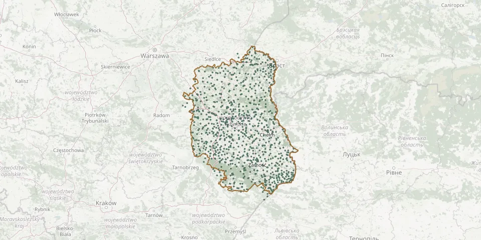 © OpenStreetMap
- Horodyszcze Roman Catholic CemeteryGPS coordinates: 51.74988° N, 23.18788° E
- Horostyta Greek Catholic Cemetery (now Orthodox)GPS coordinates: 51.58938° N, 23.23809° E
- Horoszczyce Orthodox CemeteryGPS coordinates: 50.55635° N, 23.99728° E
- Horyszów Parish CemeteryGPS coordinates: 50.75676° N, 23.59303° E
- Horyszów Polski Parish CemeteryGPS coordinates: 50.74758° N, 23.42064° E
- Hostynne Parish CemeteryGPS coordinates: 50.74950° N, 23.70867° E
- Hrubieszów Jewish CemeteryGPS coordinates: 50.80725° N, 23.89631° E
- Hrubieszów Military CemeteryGPS coordinates: 50.80089° N, 23.90492° E
- Hrubieszów Municipal CemeteryGPS coordinates: 50.80012° N, 23.91964° E
- Hrubieszów Orthodox CemeteryGPS coordinates: 50.80125° N, 23.90454° E
- Hrubieszów Roman Catholic CemeteryGPS coordinates: 50.86336° N, 23.92685° E
- Hrubieszów Roman Catholic CemeteryGPS coordinates: 50.83736° N, 23.90678° E
- Hubinek Orthodox Cemetery (now Roman Catholic)GPS coordinates: 50.44745° N, 23.69530° E
- Husynne Manor CemeteryGPS coordinates: 51.12635° N, 23.83596° E
- Huszcza CemeteryGPS coordinates: 51.86707° N, 23.29321° E
- Huszlew Parish CemeteryGPS coordinates: 52.13292° N, 22.84120° E
- Huta-Dąbrowa Roman Catholic CemeteryGPS coordinates: 51.80883° N, 22.05694° E
- Huta Józefów Parish CemeteryGPS coordinates: 50.80225° N, 22.29559° E
- Iwanki Historic Orthodox CemeteryGPS coordinates: 51.50085° N, 23.43371° E
- Izbica Jewish CemeteryGPS coordinates: 50.89564° N, 23.16038° E
- Jabłonna Druga Parish CemeteryGPS coordinates: 51.08371° N, 22.58546° E
- Jabłoń New Parish CemeteryGPS coordinates: 51.73131° N, 23.09404° E
- Jabłoń Old Parish CemeteryGPS coordinates: 51.73239° N, 23.09384° E
- Janowiec Jewish CemeteryGPS coordinates: 51.32287° N, 21.90047° E
- Janowiec Parish CemeteryGPS coordinates: 51.32670° N, 21.87652° E
- Janów Lubelski Jewish CemeteryGPS coordinates: 50.69772° N, 22.42513° E
- Janów Lubelski Municipal CemeteryGPS coordinates: 50.71154° N, 22.42063° E
- Janów Lubelski War CemeteryGPS coordinates: 50.70980° N, 22.43380° E
- Janów Podlaski German World War I War CemeteryGPS coordinates: 52.11592° N, 23.24472° E
- Janów Podlaski Jewish CemeteryGPS coordinates: 52.19118° N, 23.20646° E