
Subcarpathian Voivodeship
1,346 known cemeteries in Subcarpathian Voivodeship, Poland.
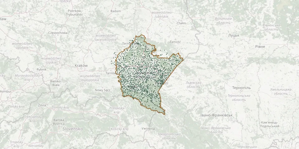 © OpenStreetMap
- Humniska New Roman Catholic CemeteryGPS coordinates: 49.68335° N, 22.02507° E
- Humniska Old Roman Catholic CemeteryGPS coordinates: 49.67318° N, 22.05689° E
- Hureczko Greek Catholic Cemetery (now Roman Catholic)GPS coordinates: 49.78866° N, 22.85844° E
- Hurko Greek Catholic Cemetery (now Roman Catholic)GPS coordinates: 49.79973° N, 22.87711° E
- Husów Roman Catholic CemeteryGPS coordinates: 49.97591° N, 22.29676° E
- Huta Komorowska Municipal CemeteryGPS coordinates: 50.38619° N, 21.71088° E
- Huta Krzeszowska War CemeteryGPS coordinates: 50.51754° N, 22.45393° E
- Huta Polańska CemeteryGPS coordinates: 49.45031° N, 21.54239° E
- Huta Różaniecka Parish CemeteryGPS coordinates: 50.37019° N, 23.20925° E
- Huta Różaniecka Uniate CemeteryGPS coordinates: 50.37966° N, 23.20011° E
- Huwniki Cemetery (now Roman Catholic)GPS coordinates: 49.65477° N, 22.69130° E
- Hyżne Parish CemeteryGPS coordinates: 49.92434° N, 22.17058° E
- Hyżne Roman Catholic CemeteryGPS coordinates: 49.92274° N, 22.16676° E
- Irena War Cemetery (1863 and 1915)GPS coordinates: 50.75740° N, 22.05508° E
- Iskrzynia Parish CemeteryGPS coordinates: 49.68777° N, 21.86148° E
- Iwla Parish CemeteryGPS coordinates: 49.56181° N, 21.63832° E
- Iwonicz Cholera CemeteryGPS coordinates: 49.59065° N, 21.78257° E
- Iwonicz New Municipal CemeteryGPS coordinates: 49.60007° N, 21.80372° E
- Iwonicz Old CemeteryGPS coordinates: 49.59813° N, 21.80235° E
- Izdebki - Rudawiec Parish CemeteryGPS coordinates: 49.73803° N, 22.09698° E
- Jabłonica Parish CemeteryGPS coordinates: 49.79523° N, 21.33898° E
- Jabłonica Polska Parish CemeteryGPS coordinates: 49.69508° N, 21.90661° E
- Jabłonica-Walówka War Cemetery No. 28GPS coordinates: 49.78320° N, 21.33948° E
- Jabłonka Parish CemeteryGPS coordinates: 49.69160° N, 22.11060° E
- Jaćmierz Parish CemeteryGPS coordinates: 49.62147° N, 22.01453° E
- Jadachy Parish CemeteryGPS coordinates: 50.48572° N, 21.67782° E
- Jagiełła-Niechciałki Cemetery of the Victims of German NazismGPS coordinates: 50.10272° N, 22.59306° E
- Jagiełła Roman Catholic CemeteryGPS coordinates: 50.10148° N, 22.56960° E
- Jaksmanice Roman Catholic CemeteryGPS coordinates: 49.74883° N, 22.88371° E
- Jamy Parish CemeteryGPS coordinates: 50.24860° N, 21.18178° E