
Flemish Brabant
352 known cemeteries in Flemish Brabant, Belgium.
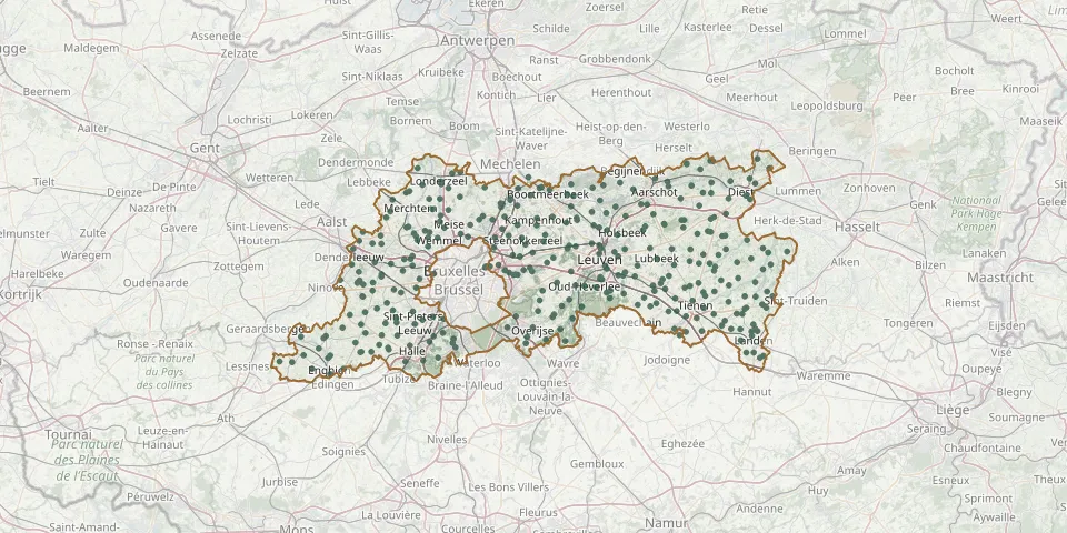 © OpenStreetMap
- Bekkevoort CemeteryGPS coordinates: 50.94550° N, 4.98279° E
- Bekkevoort Old CemeteryGPS coordinates: 50.94283° N, 4.97460° E
- Berchem-Sainte-Agathe CemeteryGPS coordinates: 50.85739° N, 4.29072° E
- Berg CemeteryGPS coordinates: 50.93303° N, 4.54508° E
- Binkom ChurchyardGPS coordinates: 50.87140° N, 4.88389° E
- Bois-d'Acren - Akrenbos CemeteryGPS coordinates: 50.72040° N, 3.90900° E
- Boortmeerbeek CemeteryGPS coordinates: 50.98822° N, 4.57652° E
- Borchtlombeek CemeteryGPS coordinates: 50.84371° N, 4.14004° E
- Bos CemeteryGPS coordinates: 50.84426° N, 5.08526° E
- Bost CemeteryGPS coordinates: 50.78807° N, 4.94036° E
- Boutersem CemeteryGPS coordinates: 50.84851° N, 4.85626° E
- Broeders Alexianen CemeteryGPS coordinates: 50.92006° N, 4.35666° E
- Brussegem CemeteryGPS coordinates: 50.92439° N, 4.26949° E
- Brussels Cemetery - Lawn 13 (Evere)GPS coordinates: 50.86729° N, 4.41757° E
- Brussels Town Cemetery, Commonwealth PlotGPS coordinates: 50.86845° N, 4.41859° E
- Budingen CemeteryGPS coordinates: 50.86450° N, 5.10420° E
- Buken Kampenhout churchyardGPS coordinates: 50.93711° N, 4.61772° E
- Bunsbeek CemeteryGPS coordinates: 50.84305° N, 4.94502° E
- Butsel CemeteryGPS coordinates: 50.83370° N, 4.86200° E
- Church of Our Lady Churchyard, HeverGPS coordinates: 50.99230° N, 4.55630° E
- Church of St. Anthony Churchyard (Bollebeek)GPS coordinates: 50.92030° N, 4.24170° E
- Church of St. Martin Churchyard, MelsbroekGPS coordinates: 50.91660° N, 4.47590° E
- Church of St. Paul Old Churchyard, VollezeleGPS coordinates: 50.76040° N, 4.02400° E
- Church of St. Stephen Churchyard (Mollem)GPS coordinates: 50.93090° N, 4.22760° E
- Commonwealth War Graves, NossegemGPS coordinates: 50.88434° N, 4.50313° E
- Detmold - 26 VI 1963GPS coordinates: 51.00544° N, 5.07097° E
- Deurne CemeteryGPS coordinates: 51.03630° N, 5.09011° E
- Diestseveld Park Cemetery, LeuvenGPS coordinates: 50.88461° N, 4.74591° E
- Dilbeek CemeteryGPS coordinates: 50.84910° N, 4.25546° E
- Divine Saviour Municipal Cemetery, HakendoverGPS coordinates: 50.79430° N, 4.98190° E