
Thuringia
2,006 known cemeteries in Thuringia, Germany.
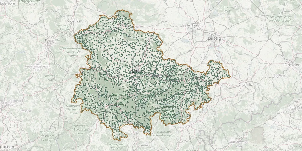 © OpenStreetMap
- Kölleda CemeteryGPS coordinates: 51.18495° N, 11.24387° E
- Königsee CemeteryGPS coordinates: 50.66286° N, 11.10050° E
- Königshofen CemeteryGPS coordinates: 51.00408° N, 11.90404° E
- Könitz CemeteryGPS coordinates: 50.65396° N, 11.48800° E
- Kopitzsch CemeteryGPS coordinates: 50.74218° N, 11.82468° E
- Köppelsdorf CemeteryGPS coordinates: 50.35675° N, 11.20220° E
- Korbußen CemeteryGPS coordinates: 50.89088° N, 12.17183° E
- Körner CemeteryGPS coordinates: 51.22777° N, 10.58434° E
- Kornhochheim CemeteryGPS coordinates: 50.90099° N, 10.91567° E
- Kosma CemeteryGPS coordinates: 50.96922° N, 12.40286° E
- Kösnitz CemeteryGPS coordinates: 51.01509° N, 11.60027° E
- Kospoda CemeteryGPS coordinates: 50.71871° N, 11.73584° E
- Kötschau CemeteryGPS coordinates: 50.96235° N, 11.48529° E
- Krakendorf Cemetery (Blankenhain)GPS coordinates: 50.83634° N, 11.30565° E
- Kranichborn CemeteryGPS coordinates: 51.11987° N, 11.08032° E
- Kranlucken CemeteryGPS coordinates: 50.70043° N, 9.99149° E
- Krauthausen CemeteryGPS coordinates: 51.01587° N, 10.27146° E
- Krautheim CemeteryGPS coordinates: 51.08764° N, 11.30110° E
- Kreuzebra CemeteryGPS coordinates: 51.34053° N, 10.25504° E
- Kriebitzsch CemeteryGPS coordinates: 51.02070° N, 12.33069° E
- Krimderode CemeteryGPS coordinates: 51.53299° N, 10.78795° E
- Krippendorf CemeteryGPS coordinates: 50.97681° N, 11.55227° E
- Krölpa CemeteryGPS coordinates: 50.67917° N, 11.53254° E
- Krölpa CemeteryGPS coordinates: 50.67278° N, 11.88229° E
- Krombach CemeteryGPS coordinates: 51.28990° N, 10.13470° E
- Kromsdorf Nord CemeteryGPS coordinates: 51.00581° N, 11.36520° E
- Kromsdorf Süd CemeteryGPS coordinates: 51.00123° N, 11.37382° E
- Kühdorf CemeteryGPS coordinates: 50.70647° N, 12.10952° E
- Kühndorf CemeteryGPS coordinates: 50.60896° N, 10.48792° E
- Kühnhausen CemeteryGPS coordinates: 51.03460° N, 10.97379° E