
Gelderland
475 known cemeteries in Gelderland, Netherlands.
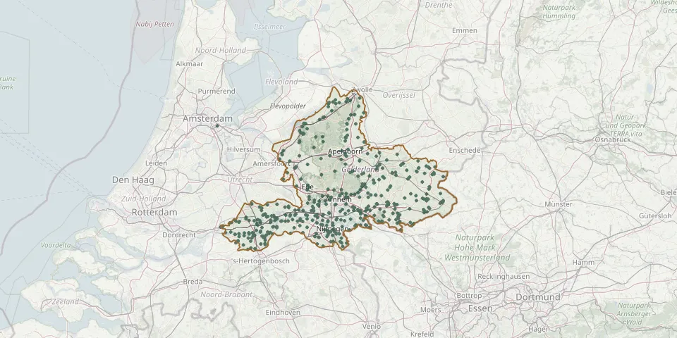 © OpenStreetMap
- Ruurlo General CemeteryGPS coordinates: 52.09165° N, 6.46428° E
- Saint Helene AerdtGPS coordinates: 51.89462° N, 6.08084° E
- Saint Martinus HerwenGPS coordinates: 51.88436° N, 6.10373° E
- Schapenmeer Natural Burial Ground, VordenGPS coordinates: 52.11344° N, 6.32870° E
- SchootmanshofGPS coordinates: 52.26608° N, 5.60418° E
- 's-Heerenberg Protestant Congregation Cemetery - ZeddamGPS coordinates: 51.90814° N, 6.25685° E
- 's-Heerenberg Protestant General CemeteryGPS coordinates: 51.87490° N, 6.24170° E
- 's Heeren Loo Cemetery, ErmeloGPS coordinates: 52.31430° N, 5.60750° E
- Sint-Annakerk CemeteryGPS coordinates: 51.85001° N, 5.66568° E
- Sint HubertusGPS coordinates: 51.85379° N, 5.93850° E
- Sint Hubertus Roman Catholic CemeteryGPS coordinates: 51.78860° N, 5.33900° E
- Slangenburg CemeteryGPS coordinates: 51.95797° N, 6.34770° E
- Slangenburg Cemetery, DoetinchemGPS coordinates: 51.96006° N, 6.36554° E
- Slijk-Ewijk General CemeteryGPS coordinates: 51.88391° N, 5.78544° E
- Soerenseweg CemeteryGPS coordinates: 52.45336° N, 5.97032° E
- Sonnevanck & Boerhaave Cemetery, HarderwijkGPS coordinates: 52.32330° N, 5.66550° E
- Spankeren CemeteryGPS coordinates: 52.05789° N, 6.11454° E
- Spijk CemeteryGPS coordinates: 51.85010° N, 6.15080° E
- Spijk New CemeteryGPS coordinates: 51.85226° N, 5.00700° E
- Spijk Old CemeteryGPS coordinates: 51.85690° N, 5.00900° E
- St. Andrew Roman Catholic Parish Churchyard, GroessenGPS coordinates: 51.93130° N, 6.02830° E
- St. Antoniusparochie Roman Catholic CemeteryGPS coordinates: 51.90200° N, 6.37400° E
- Staverden CemeteryGPS coordinates: 52.28430° N, 5.73300° E
- St. Barbara Roman Catholic Cemetery, NijmegenGPS coordinates: 51.81233° N, 5.86245° E
- St. Boniface Protestant Churchyard, EldenGPS coordinates: 51.96100° N, 5.88780° E
- Steenderen CemeteryGPS coordinates: 52.06510° N, 6.18814° E
- Steenderen General CemeteryGPS coordinates: 52.06426° N, 6.18487° E
- Stenenkruisstraat General Cemetery, NijmegenGPS coordinates: 51.83960° N, 5.86805° E
- St. George Protestant Churchyard, ErichemGPS coordinates: 51.90054° N, 5.34994° E
- St. Martin Protestant Churchyard, LentGPS coordinates: 51.86000° N, 5.86590° E