
Subcarpathian Voivodeship
1,346 known cemeteries in Subcarpathian Voivodeship, Poland.
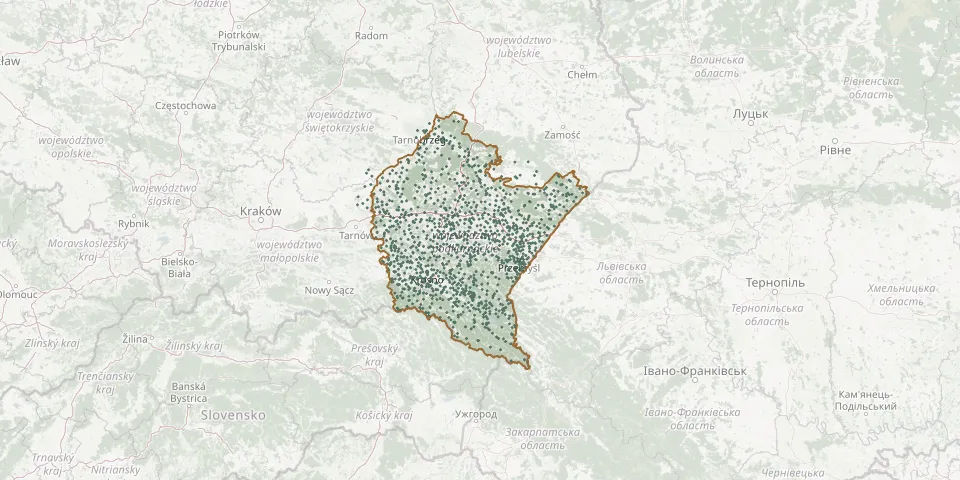 © OpenStreetMap
- Trzeboś Old Parish CemeteryGPS coordinates: 50.21252° N, 22.16057° E
- Trzeboś / Trzebos Parish CemeteryGPS coordinates: 50.21046° N, 22.15407° E
- Trzebownisko Roman Catholic CemeteryGPS coordinates: 50.08270° N, 22.04405° E
- Trzebuska CemeteryGPS coordinates: 50.20677° N, 22.07252° E
- Trześń CemeteryGPS coordinates: 50.33348° N, 21.50674° E
- Trześniów CemeteryGPS coordinates: 49.64469° N, 21.93861° E
- Trześń Old Roman Catholic CemeteryGPS coordinates: 50.65410° N, 21.78421° E
- Trześń Parish CemeteryGPS coordinates: 50.65428° N, 21.78520° E
- Trzęsówka Parish CemeteryGPS coordinates: 50.29497° N, 21.67537° E
- Tuchla War CemeteryGPS coordinates: 50.01102° N, 23.00480° E
- Tuligłowy Roman Catholic CemeteryGPS coordinates: 49.89372° N, 22.59675° E
- Turaszówka CemeteryGPS coordinates: 49.71777° N, 21.70600° E
- Turbia Parish Cemetery (oldest part)GPS coordinates: 50.62175° N, 21.97672° E
- Turze Pole Roman Catholic CemeteryGPS coordinates: 49.66042° N, 22.01842° E
- Tuszów Narodowy Parish CemeteryGPS coordinates: 50.36818° N, 21.46386° E
- Tworylne CemeteryGPS coordinates: 49.25949° N, 22.48195° E
- Tyczyn Parish CemeteryGPS coordinates: 49.95771° N, 22.03664° E
- Tylawa Greek Catholic Cemetery (now Roman Catholic)GPS coordinates: 49.46568° N, 21.69373° E
- Tyniowice Cholera CemeteryGPS coordinates: 49.91368° N, 22.55908° E
- Tyrawa Solna CemeteryGPS coordinates: 49.60753° N, 22.28123° E
- Tyrawa Solna Old CemeteryGPS coordinates: 49.60499° N, 22.27757° E
- Tyrawa Wołoska Jewish CemeteryGPS coordinates: 49.57330° N, 22.36750° E
- Tyrawa Wołoska Old CemeteryGPS coordinates: 49.61187° N, 22.36397° E
- Uherce Mineralne Parish CemeteryGPS coordinates: 49.45783° N, 22.40224° E
- Ujazdy Parish CemeteryGPS coordinates: 49.83320° N, 22.08572° E
- Ujezna Parish CemeteryGPS coordinates: 50.06433° N, 22.59184° E
- Ujkowice Roman Catholic Cemetery (now Municipal)GPS coordinates: 49.84088° N, 22.74102° E
- Ulanica Roman Catholic CemeteryGPS coordinates: 49.83089° N, 22.18692° E
- Ulanów CemeteryGPS coordinates: 50.49169° N, 22.26746° E
- Ulanów Former Jewish CemeteryGPS coordinates: 50.49259° N, 22.27687° E