
Subcarpathian Voivodeship
1,346 known cemeteries in Subcarpathian Voivodeship, Poland.
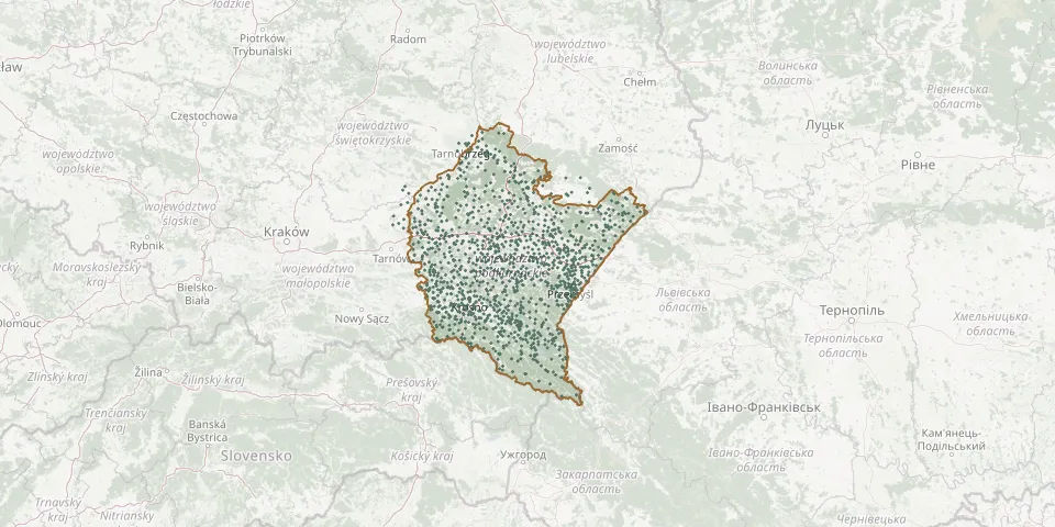 © OpenStreetMap
- Wietlin Greek Catholic Cemetery (now Roman Catholic)GPS coordinates: 50.00730° N, 22.80109° E
- Wietlin Trzeci Roman Catholic CemeteryGPS coordinates: 50.00436° N, 22.86741° E
- Wietrzno Parish CemeteryGPS coordinates: 49.60167° N, 21.70275° E
- Wiewiórka Parish CemeteryGPS coordinates: 50.10855° N, 21.34421° E
- Wilkowyja Roman Catholic Cemetery, RzeszówGPS coordinates: 50.04292° N, 22.04703° E
- Wilkowyja Soviet War CemeteryGPS coordinates: 50.03792° N, 22.04331° E
- Wisłoczek Pentecostal CemeteryGPS coordinates: 49.50209° N, 21.87017° E
- Wisłok Wielki CemeteryGPS coordinates: 49.40977° N, 21.98108° E
- Wisłok Wielki War CemeteryGPS coordinates: 49.37219° N, 22.00053° E
- Wiśniowa Roman Catholic CemeteryGPS coordinates: 49.87153° N, 21.64407° E
- Witoszyńce Municipal CemeteryGPS coordinates: 49.72682° N, 22.72644° E
- Witryłów ChurchyardGPS coordinates: 49.66570° N, 22.24311° E
- Wola Baranowska Parish CemeteryGPS coordinates: 50.46729° N, 21.55918° E
- Wola Brzeźnicka Parish CemeteryGPS coordinates: 50.10162° N, 21.51878° E
- Wola Buchowska War Cemetery 1914-1915GPS coordinates: 50.11629° N, 22.62486° E
- Wola Cieklińska First World War Cemetery No. 10GPS coordinates: 49.62647° N, 21.38977° E
- Wola Cieklińska Old CemeteryGPS coordinates: 49.63542° N, 21.37840° E
- Wola Cieklińska War Cemetery No. 11GPS coordinates: 49.62586° N, 21.37566° E
- Wola Dalsza Roman Catholic CemeteryGPS coordinates: 50.10810° N, 22.25343° E
- Wola Dębowiecka Cholera CemeteryGPS coordinates: 49.64449° N, 21.45698° E
- Wola Maćkowska War Cemetery (World War I)GPS coordinates: 49.84405° N, 22.65942° E
- Wola Matiaszowa Church CemeteryGPS coordinates: 49.37627° N, 22.38124° E
- Wola Rafałowska Roman Catholic CemeteryGPS coordinates: 49.97936° N, 22.17463° E
- Wola Raniżowska Parish CemeteryGPS coordinates: 50.29803° N, 21.95100° E
- Wola Roźwieniecka Churchyard RemainsGPS coordinates: 49.96213° N, 22.55676° E
- Wola Rusinowska Parish CemeteryGPS coordinates: 50.35886° N, 21.82156° E
- Wola Rzeczycka Parish CemeteryGPS coordinates: 50.65430° N, 22.02573° E
- Wola Sękowa ChurchyardGPS coordinates: 49.50164° N, 22.00223° E
- Wola Węgierska Roman Catholic CemeteryGPS coordinates: 49.85766° N, 22.55189° E
- Wola Zgłobieńska Roman Catholic CemeteryGPS coordinates: 49.99373° N, 21.81385° E